The long-distance paths
The path itself, end to end.
Britain’s waymarked ways, each drawn along its own line from OpenStreetMap — the whole path on one sheet, from the first stile to the last. Walk it and your own days go on top; buy it before you set off and it is the map you keep looking at.
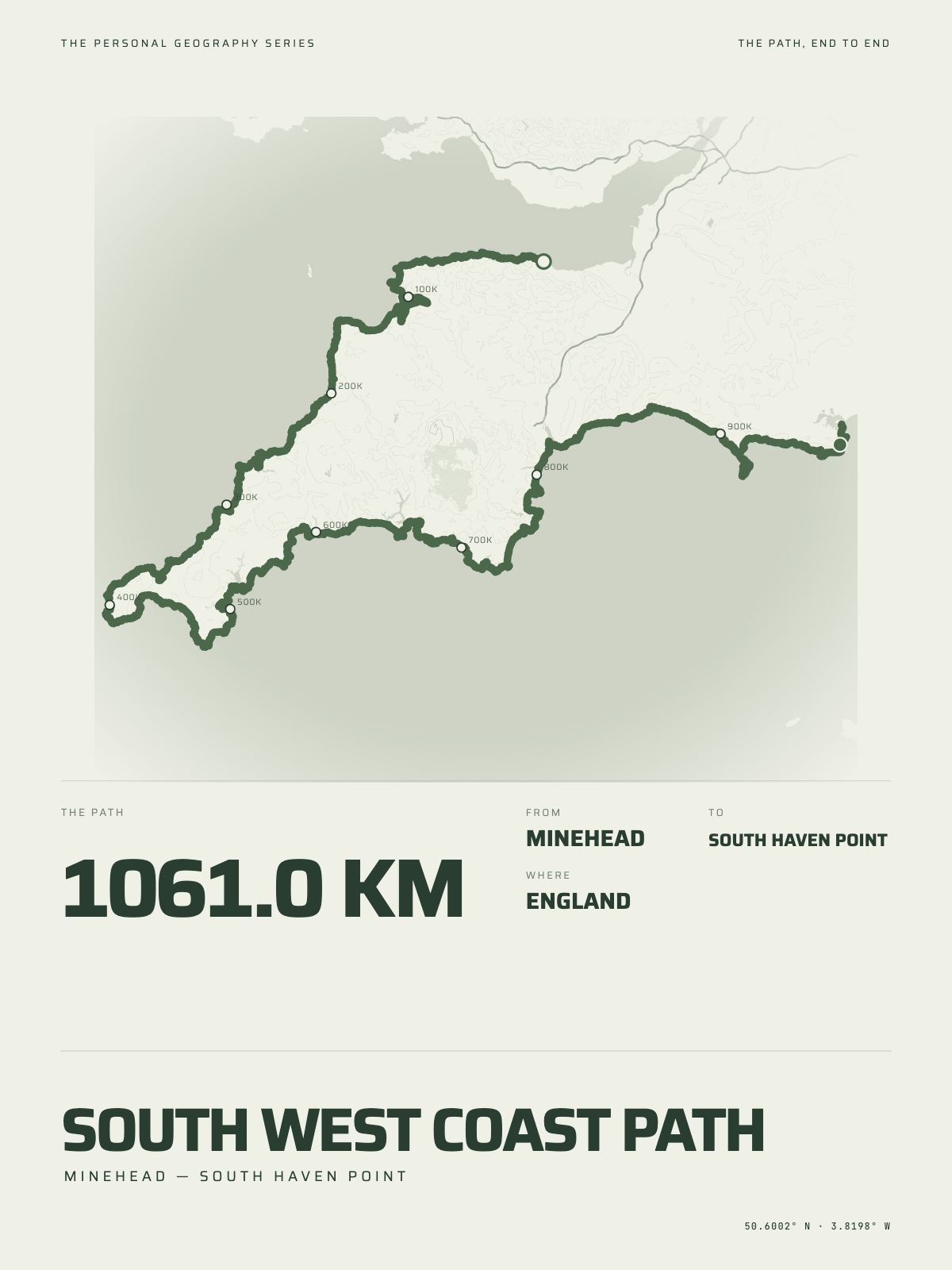
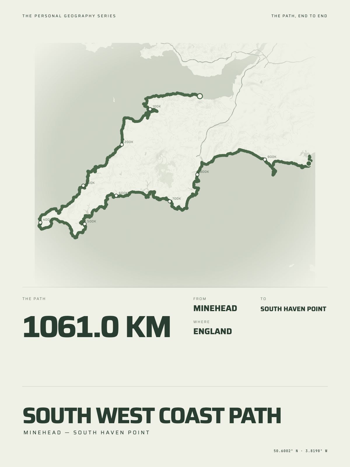
1,061 km · 659 milesSouth West Coast PathMinehead to South Haven Point · England

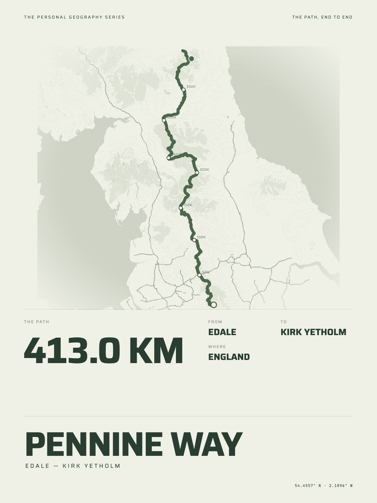
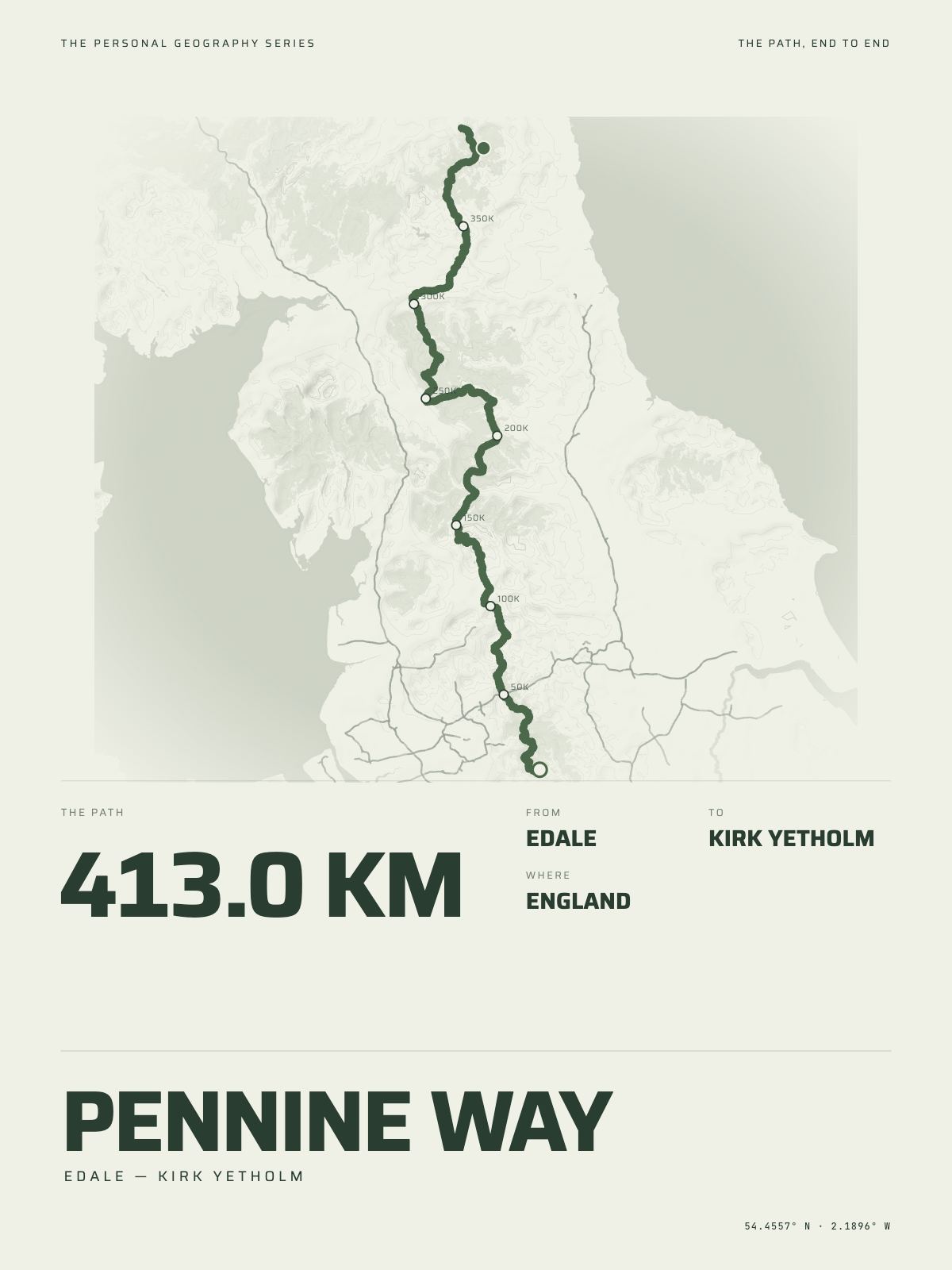
413 km · 257 milesPennine WayEdale to Kirk Yetholm · England

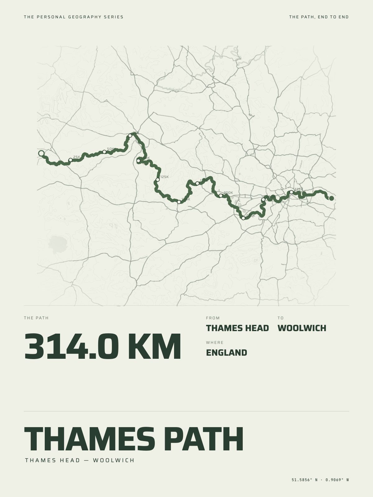
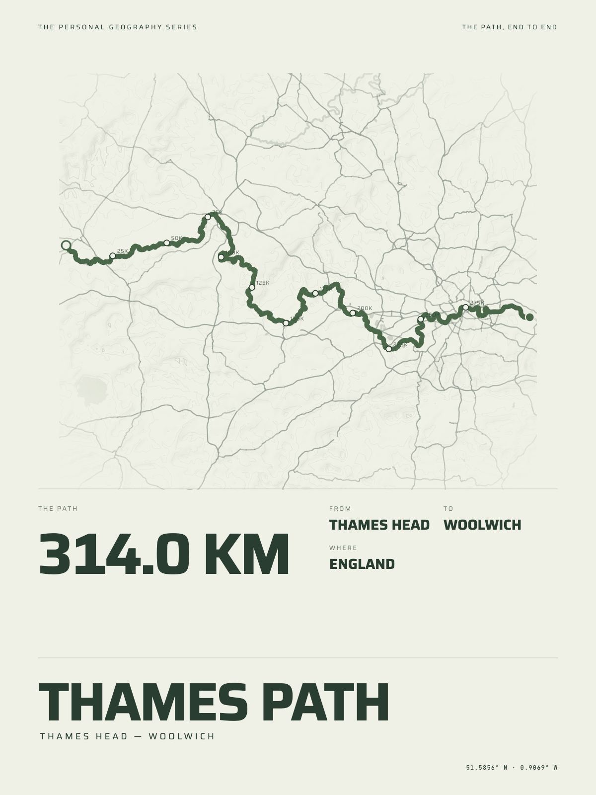
314 km · 195 milesThames PathThames Head to Woolwich · England

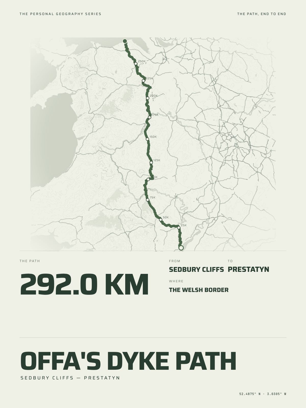
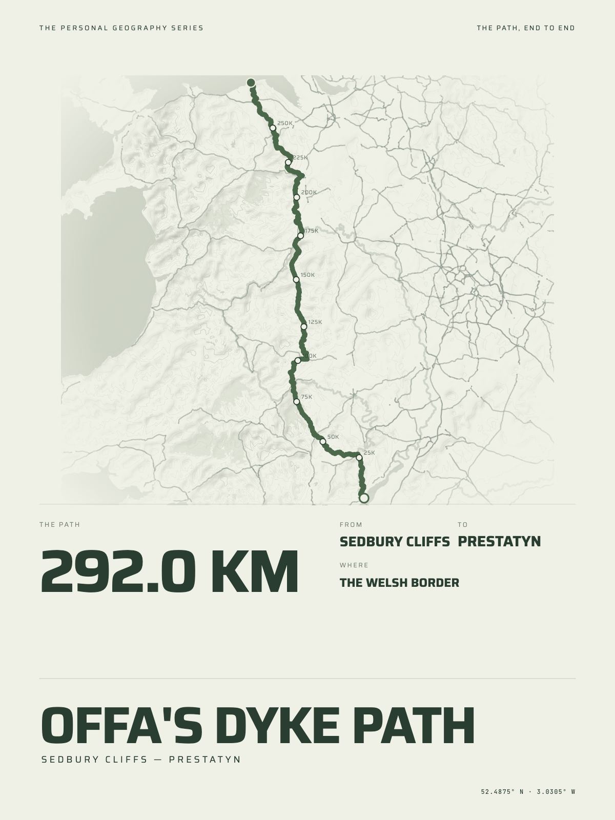
292 km · 181 milesOffa's Dyke PathSedbury Cliffs to Prestatyn · The Welsh border

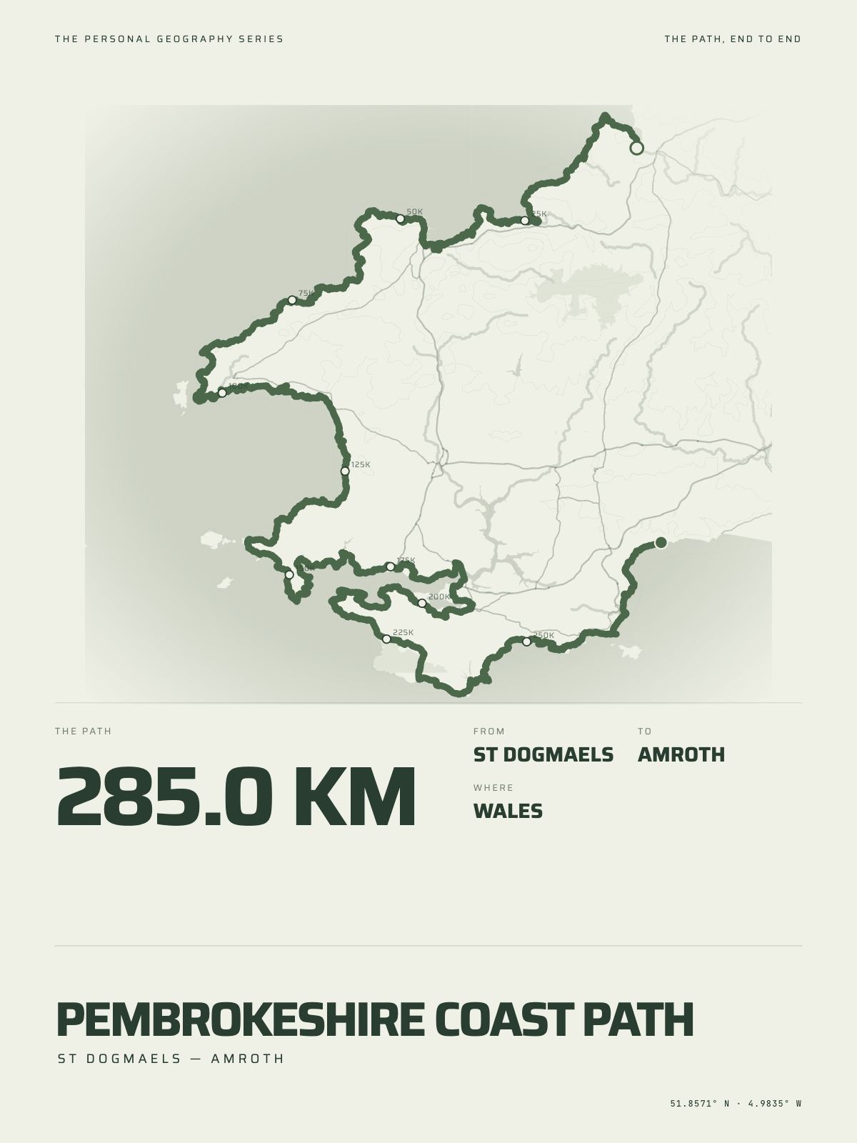
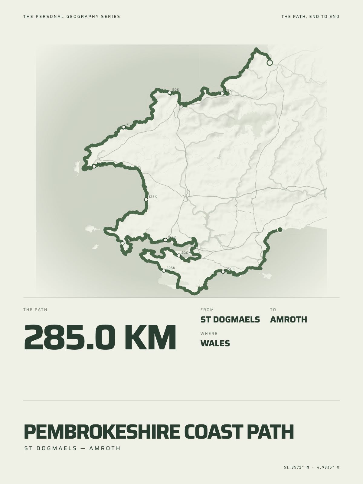
285 km · 177 milesPembrokeshire Coast PathSt Dogmaels to Amroth · Wales

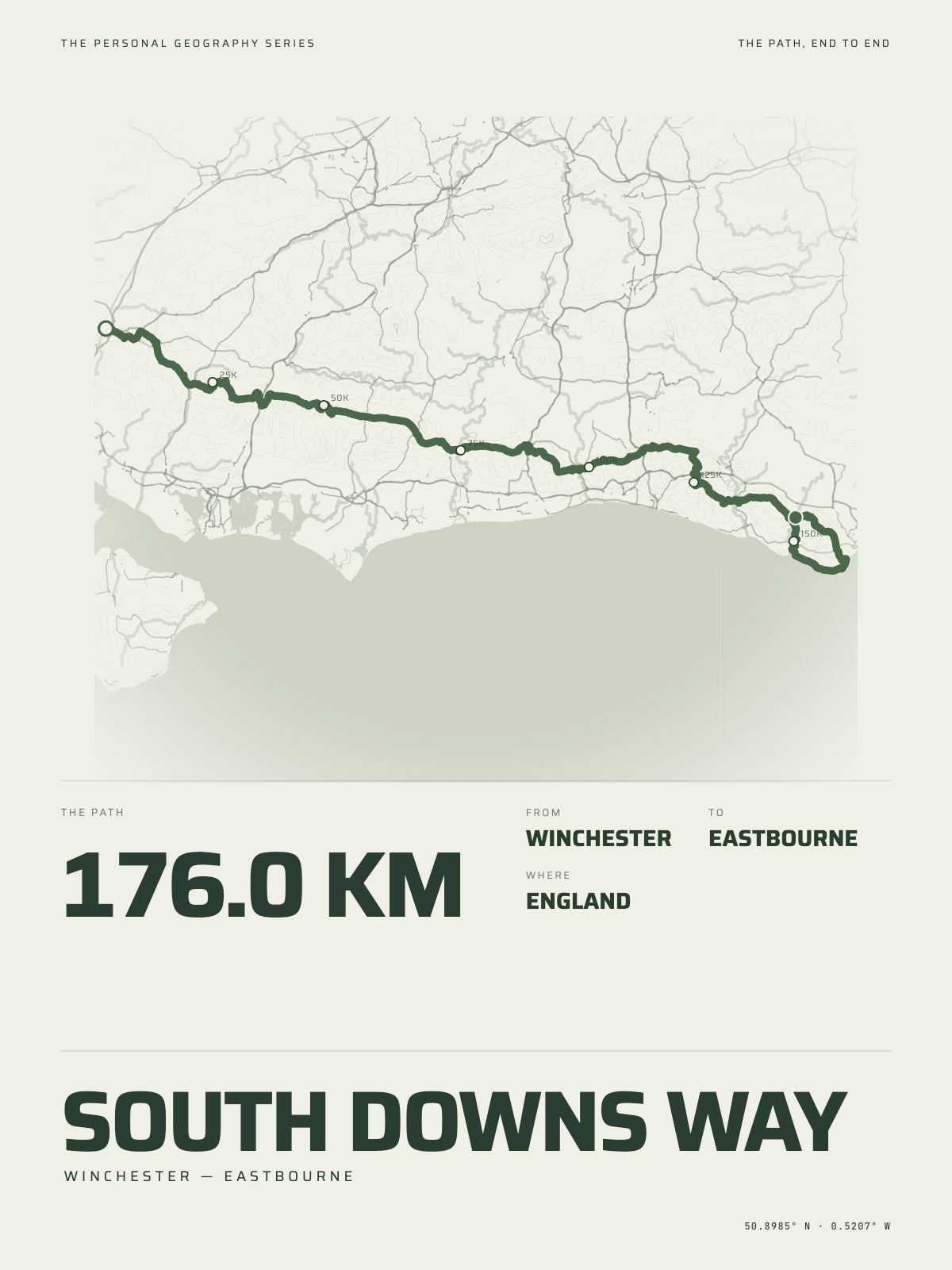
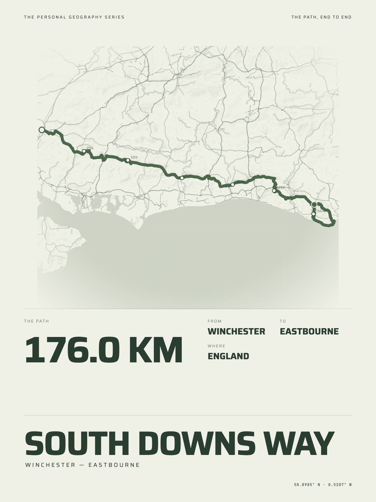
176 km · 109 milesSouth Downs WayWinchester to Eastbourne · England

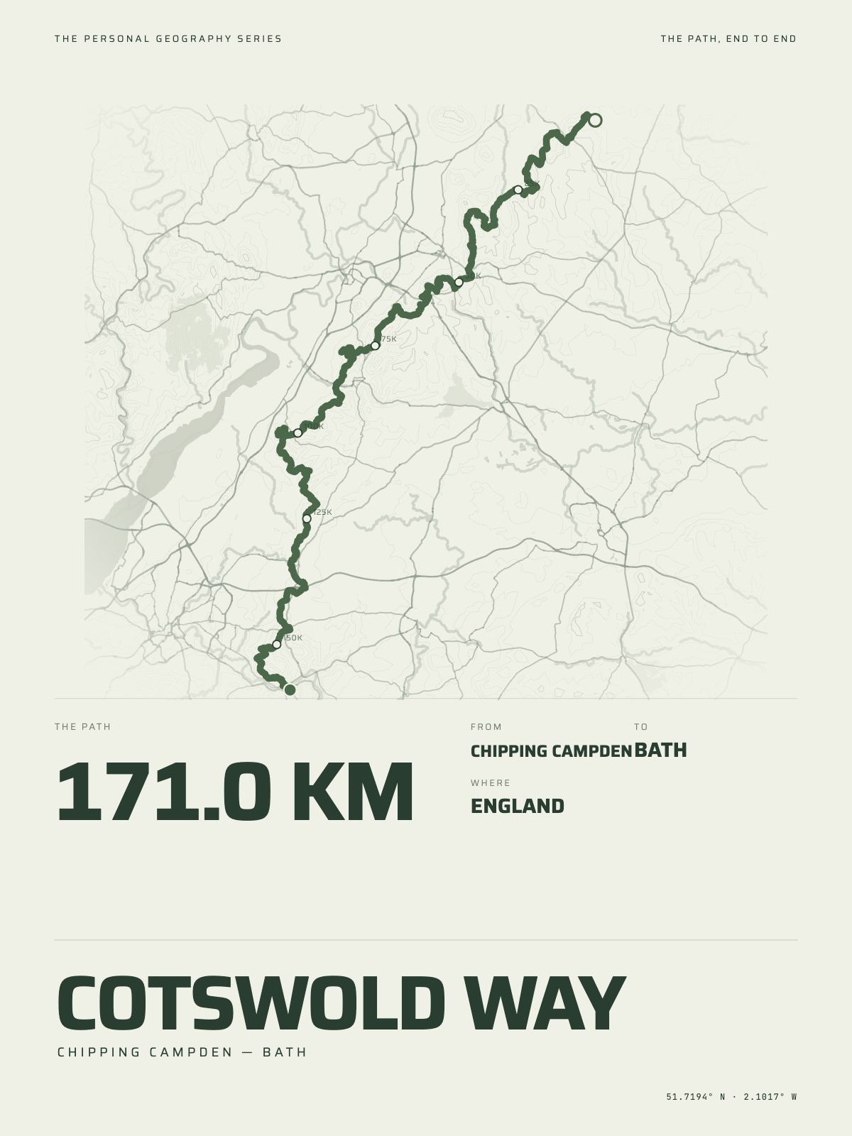
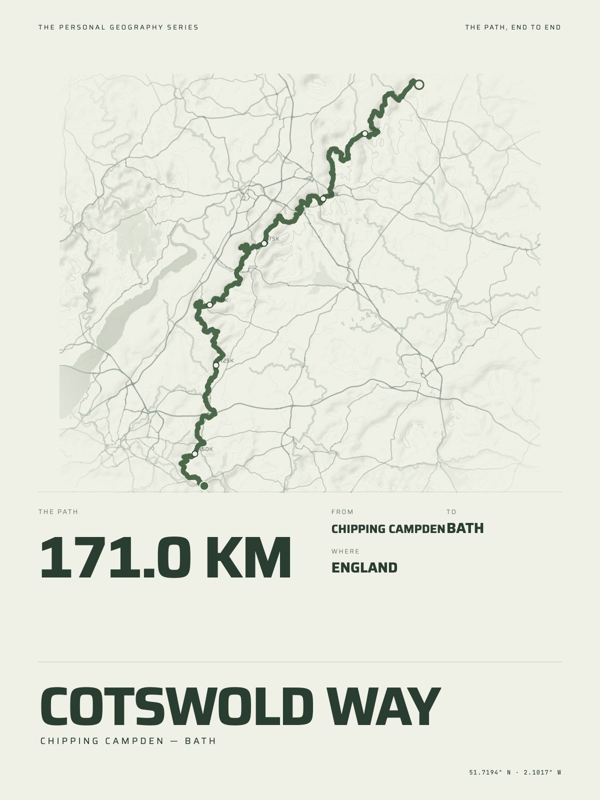
171 km · 106 milesCotswold WayChipping Campden to Bath · England

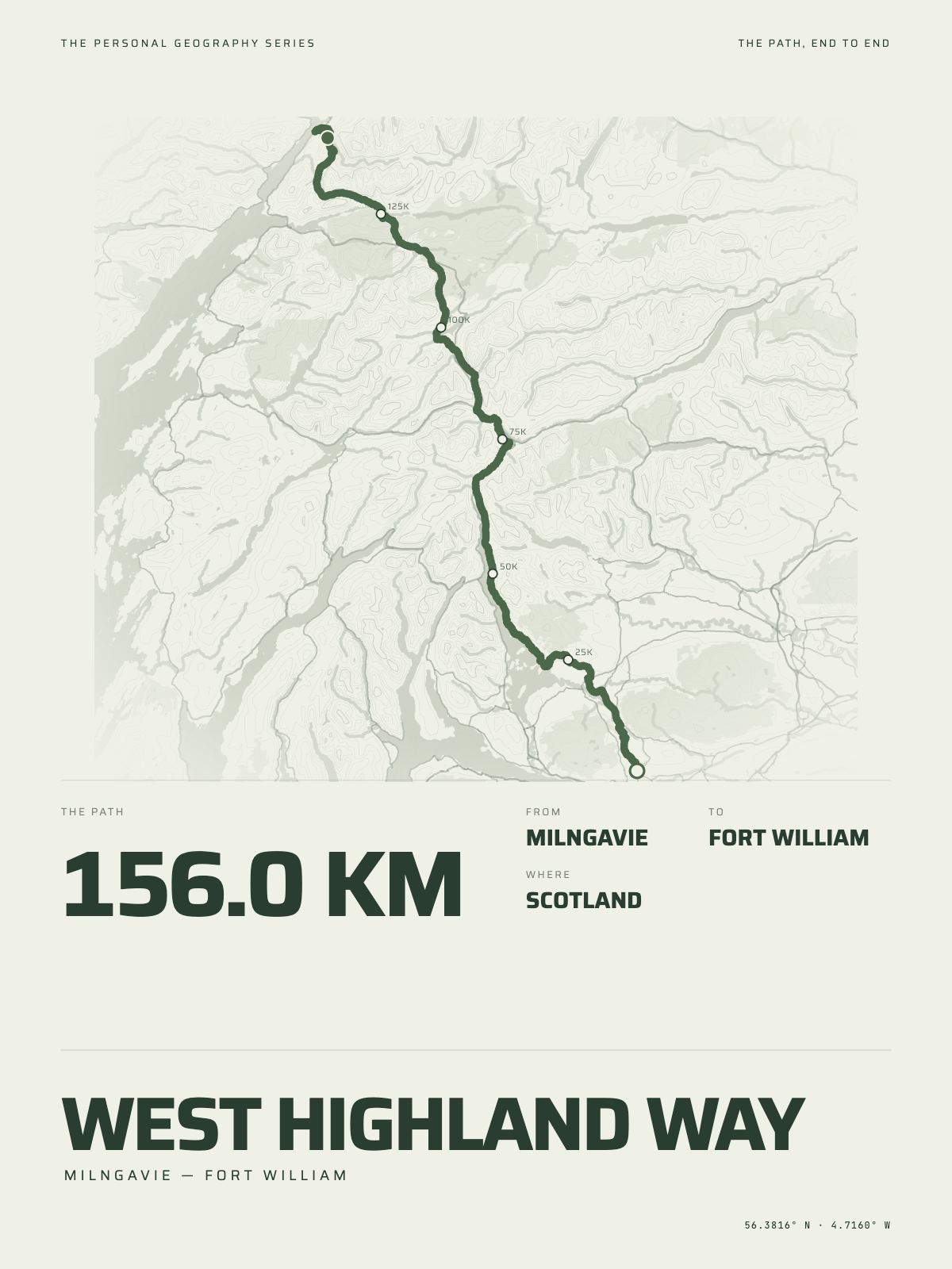
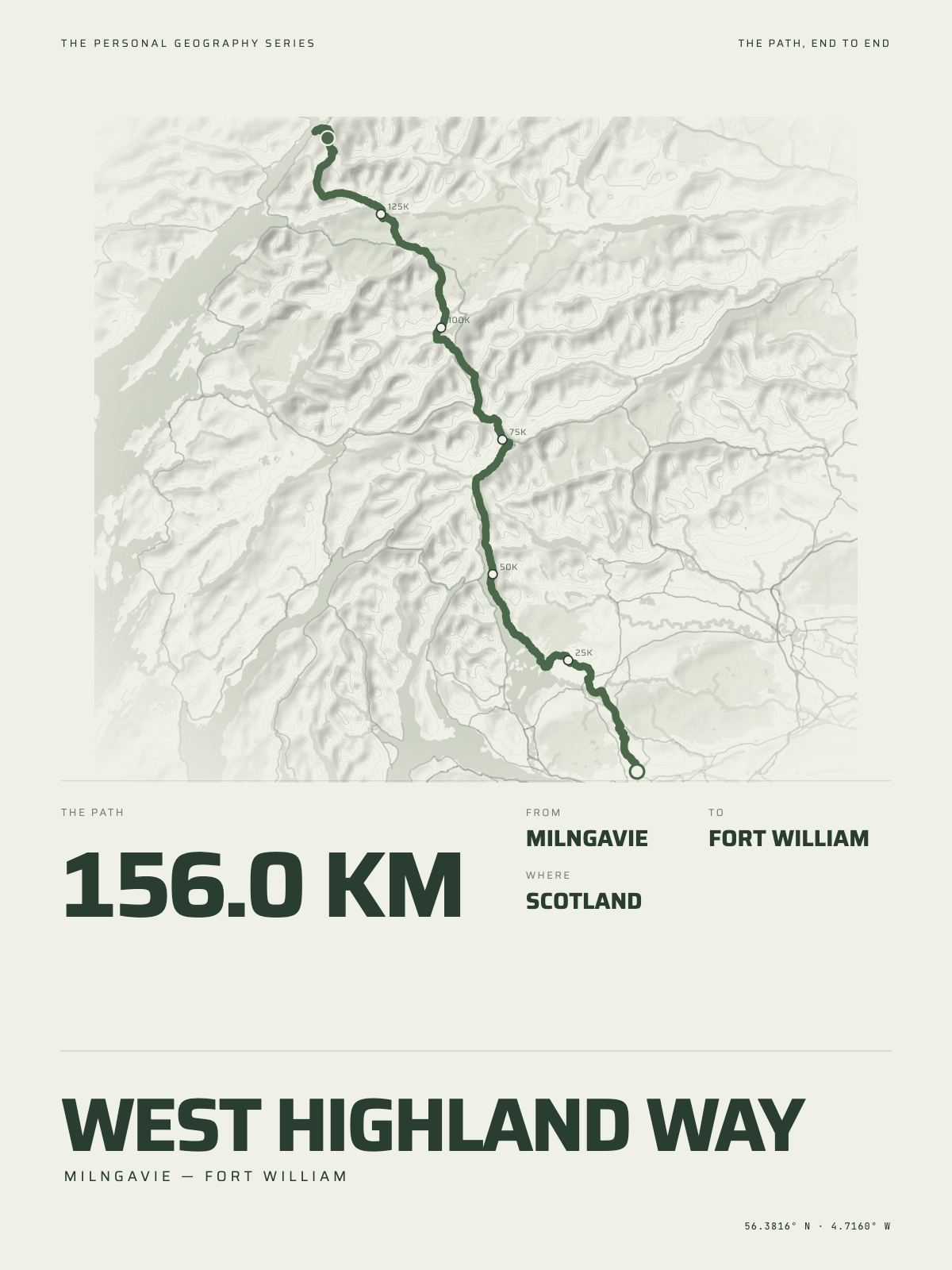
156 km · 97 milesWest Highland WayMilngavie to Fort William · Scotland

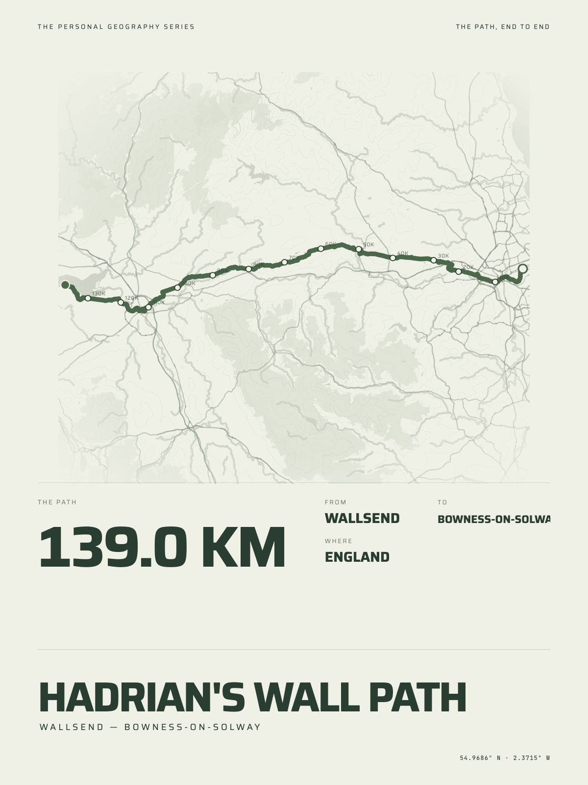
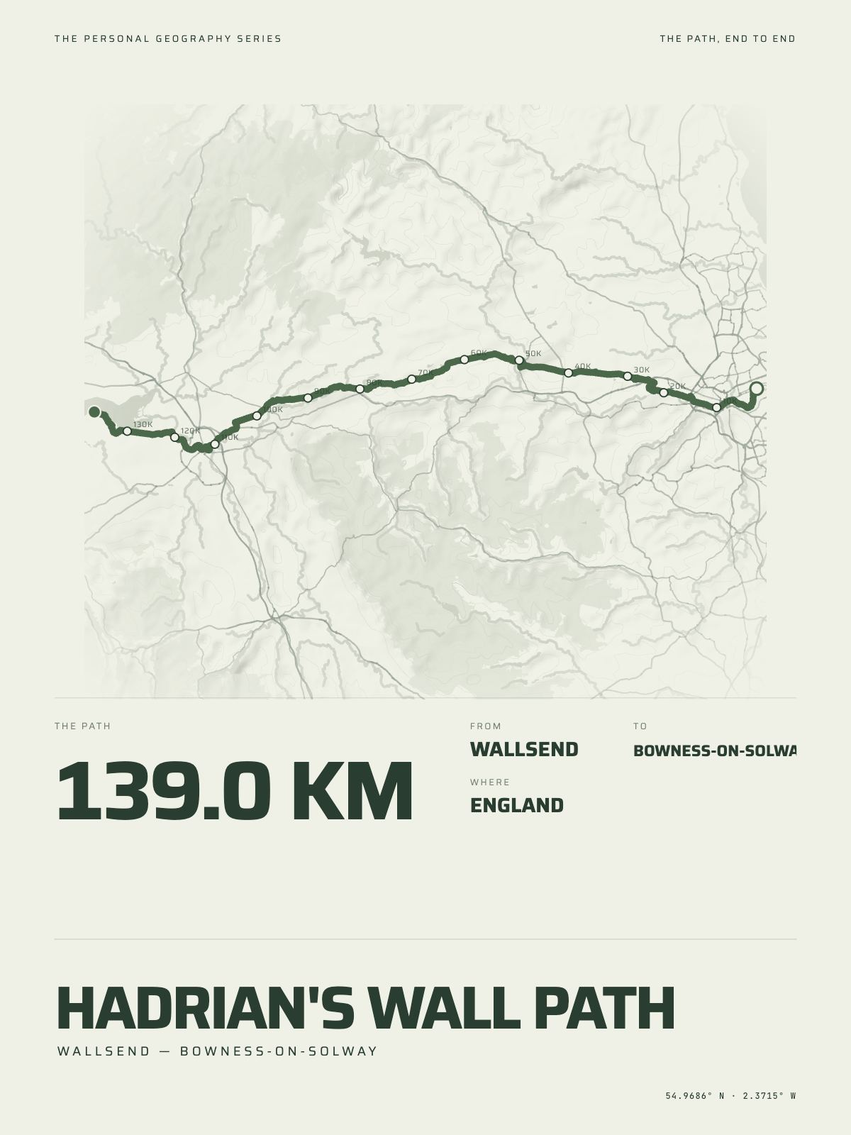
139 km · 86 milesHadrian's Wall PathWallsend to Bowness-on-Solway · England

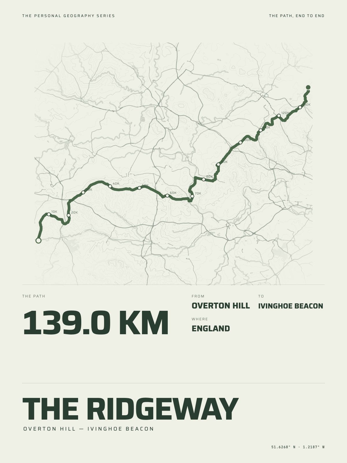
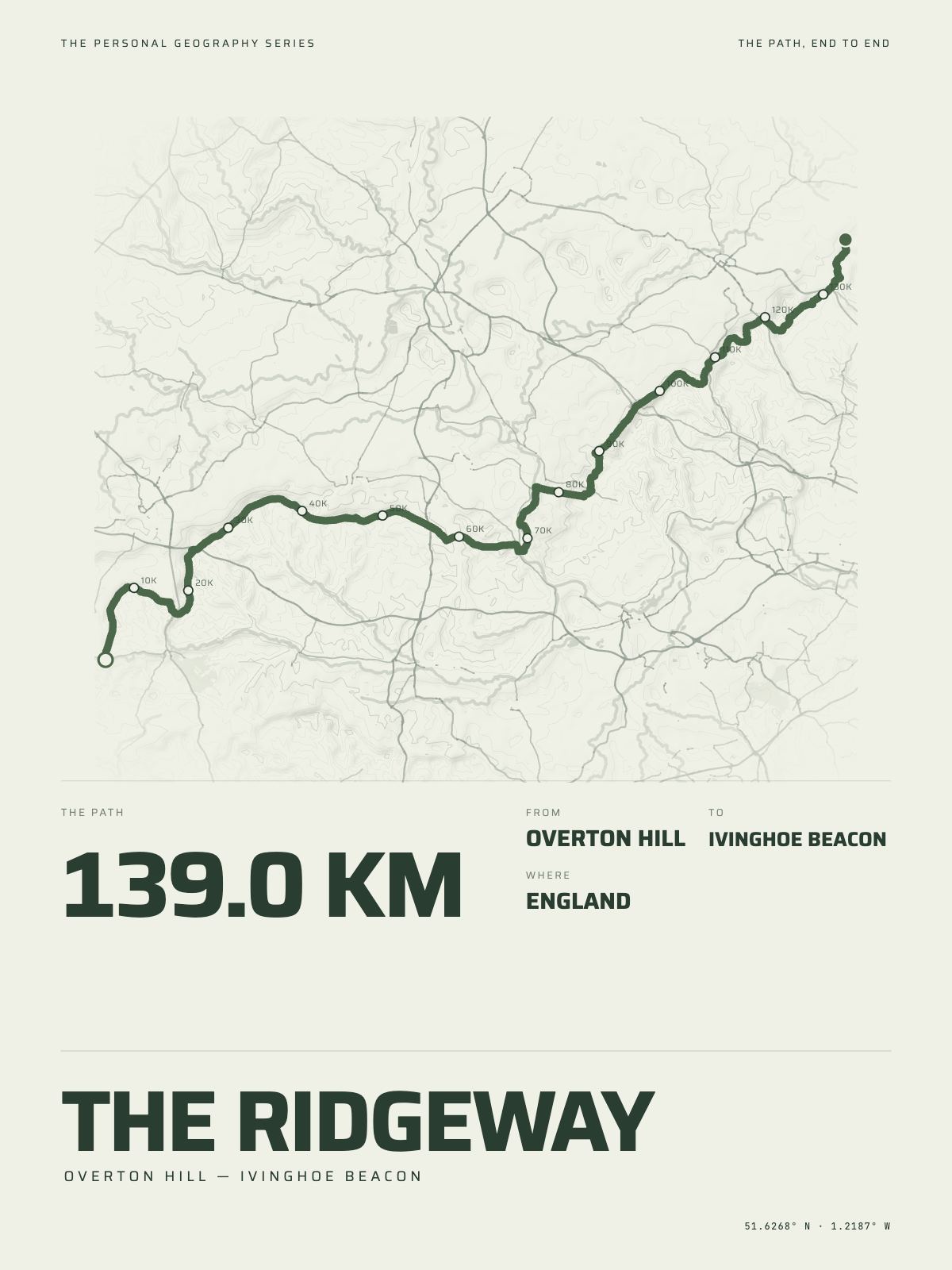
139 km · 86 milesThe RidgewayOverton Hill to Ivinghoe Beacon · England

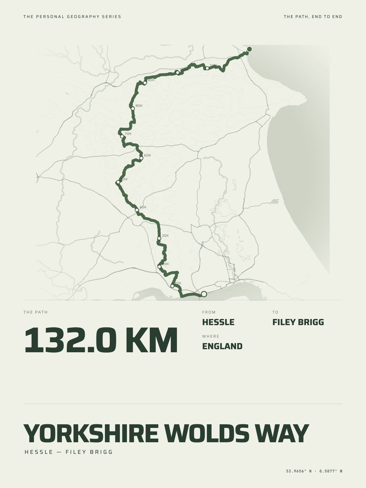
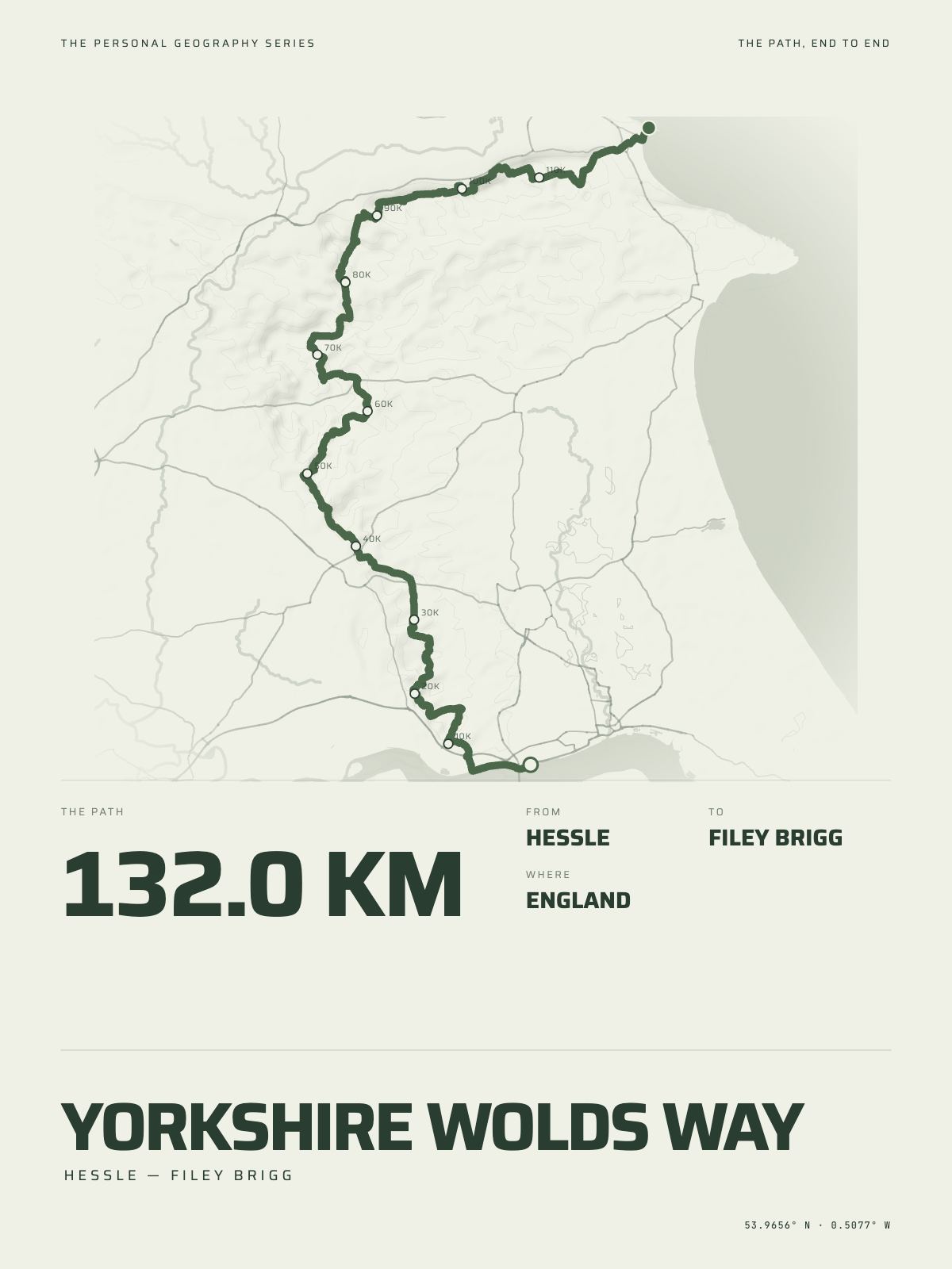
132 km · 82 milesYorkshire Wolds WayHessle to Filey Brigg · England
Walked something else?
A path that is not listed here is still a print. Connect Strava and the Studio draws the days you walked — the miles, the time on feet, the climb and the high point — wherever they were.
How The Hike Print works · City prints · Paper, frames and sizes