The Map Print
Cities, drawn from their own streets.
A page for each of these, with what the frame holds and what to put in it — the whole city, one neighbourhood, or the stretch between two. The Studio will draw anywhere on earth, so a town or a village that is not listed here is one search away.
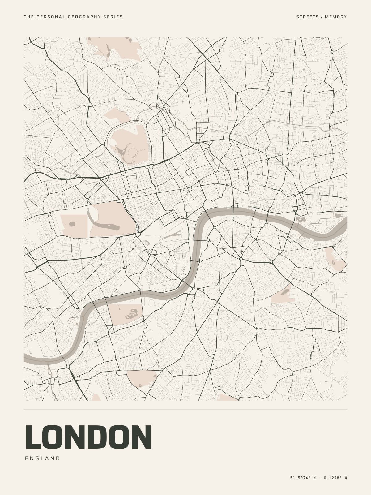
11 km acrossLondonEngland · the Thames
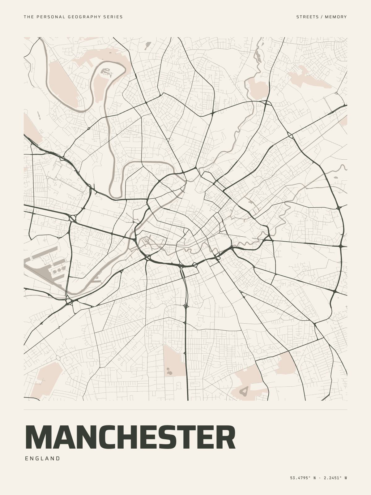
7 km acrossManchesterEngland · the Irwell
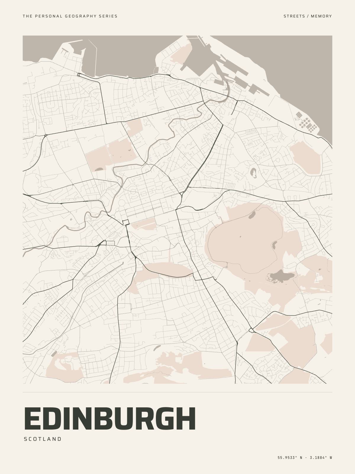
7 km acrossEdinburghScotland · the Firth of Forth
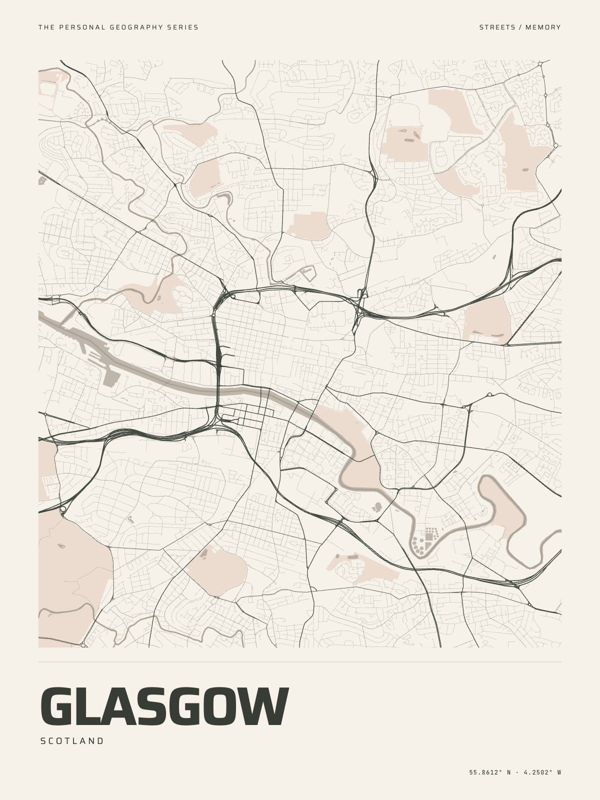
8 km acrossGlasgowScotland · the Clyde
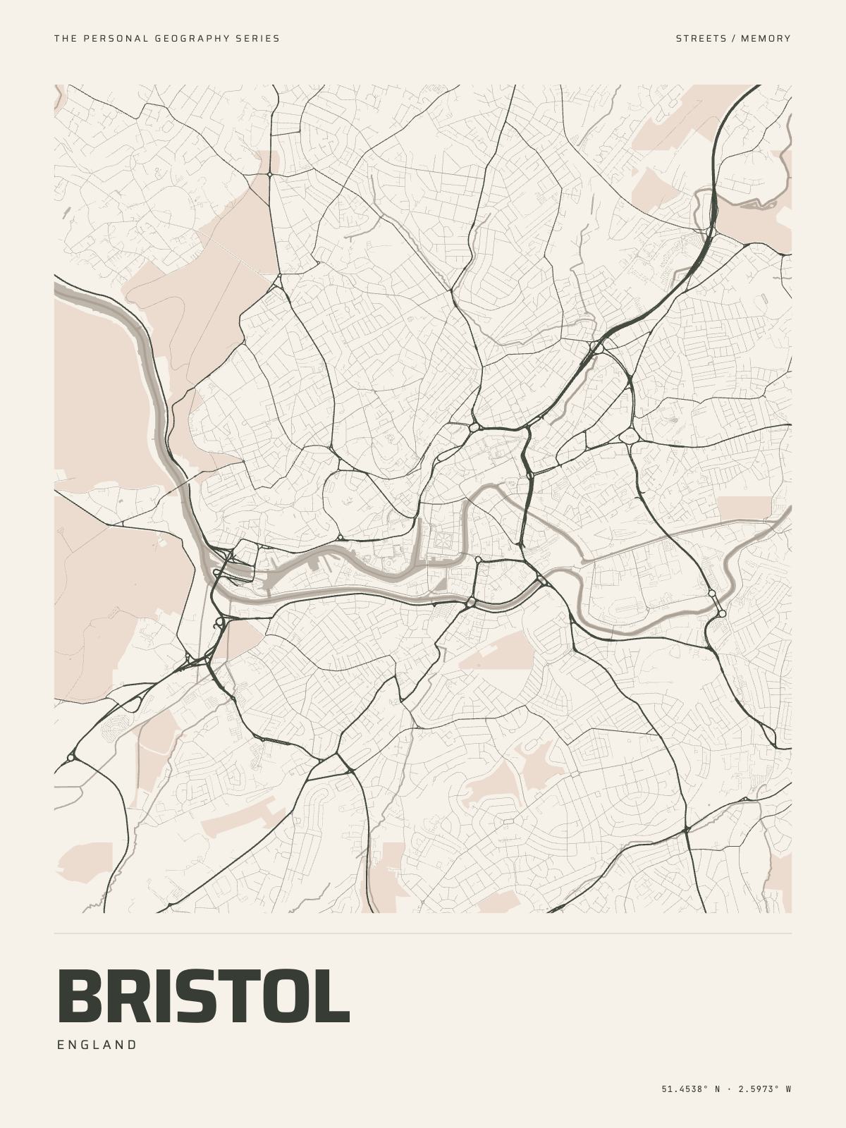
6.5 km acrossBristolEngland · the Avon
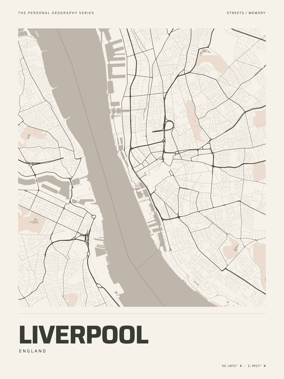
7 km acrossLiverpoolEngland · the Mersey
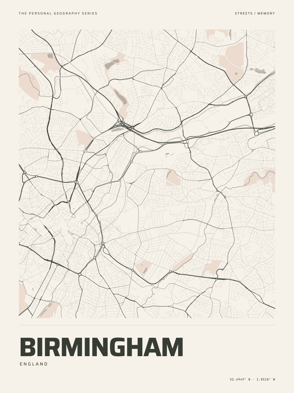
9 km acrossBirminghamEngland · the canals
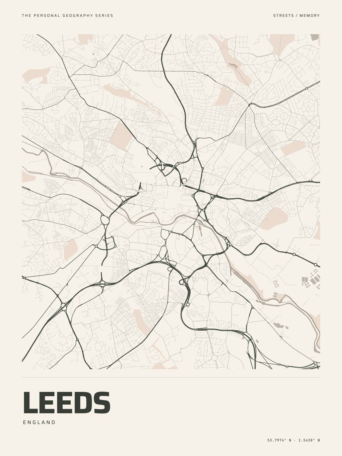
7 km acrossLeedsEngland · the Aire
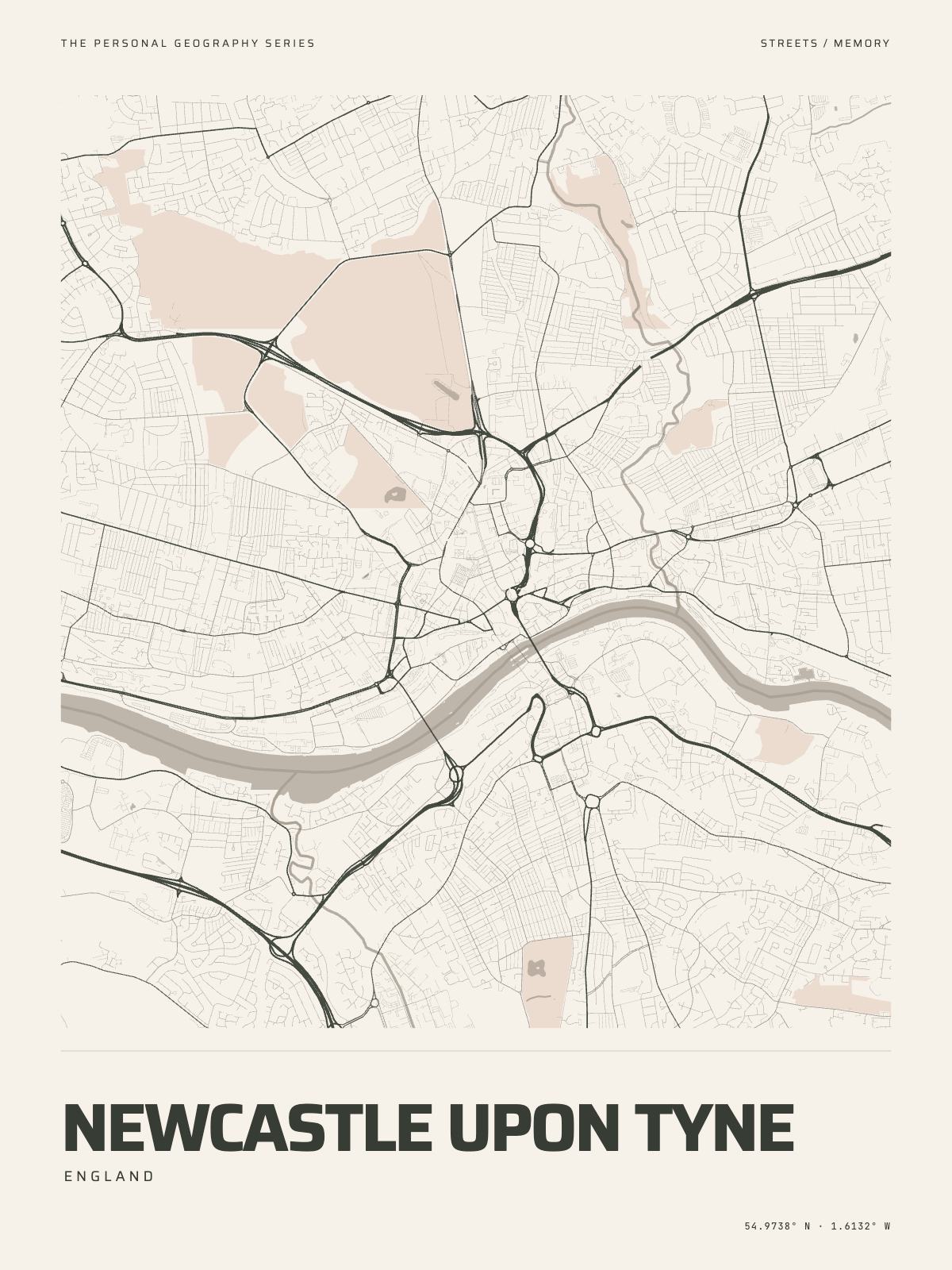
6.5 km acrossNewcastle upon TyneEngland · the Tyne
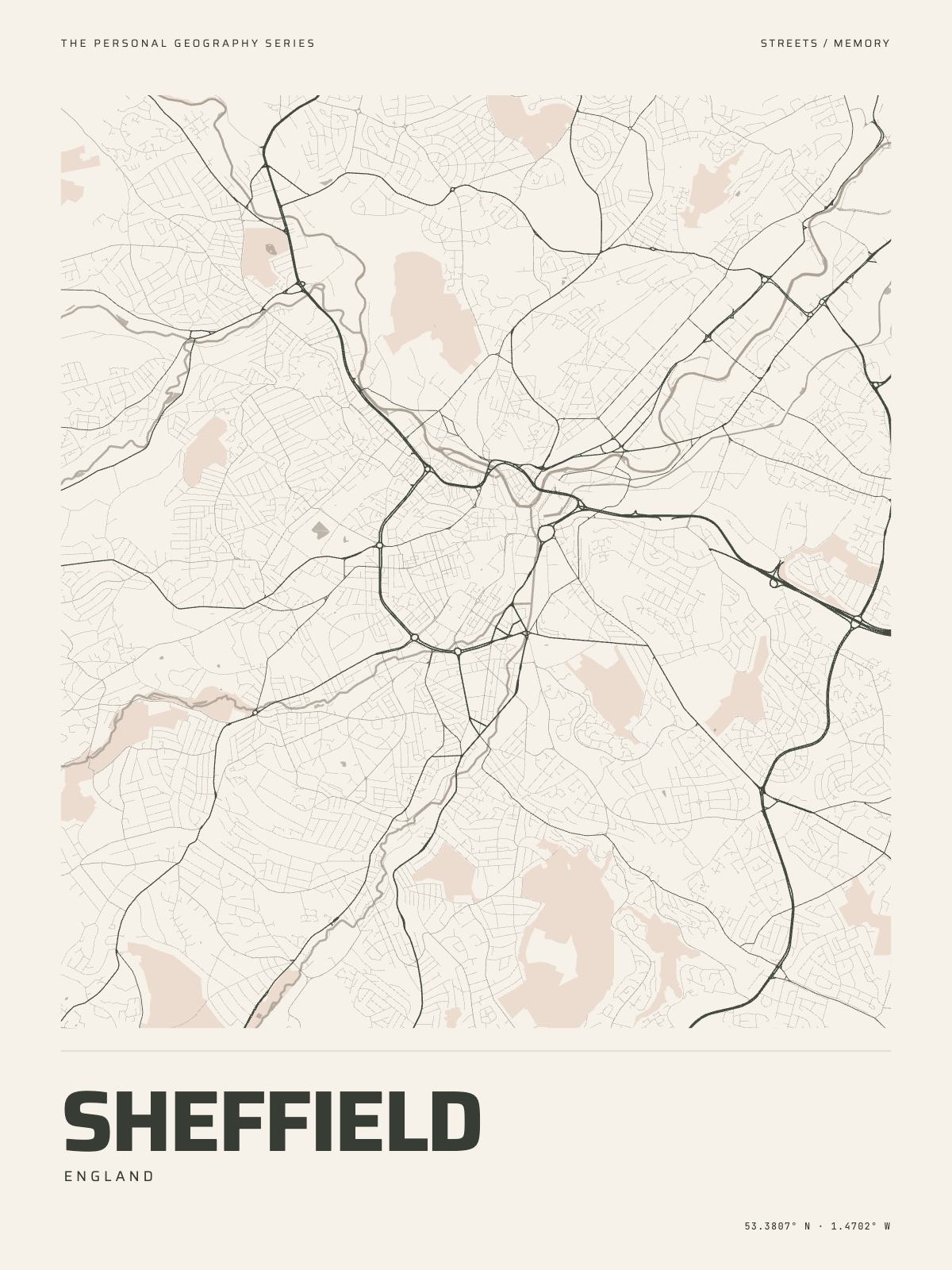
8 km acrossSheffieldEngland · the Don
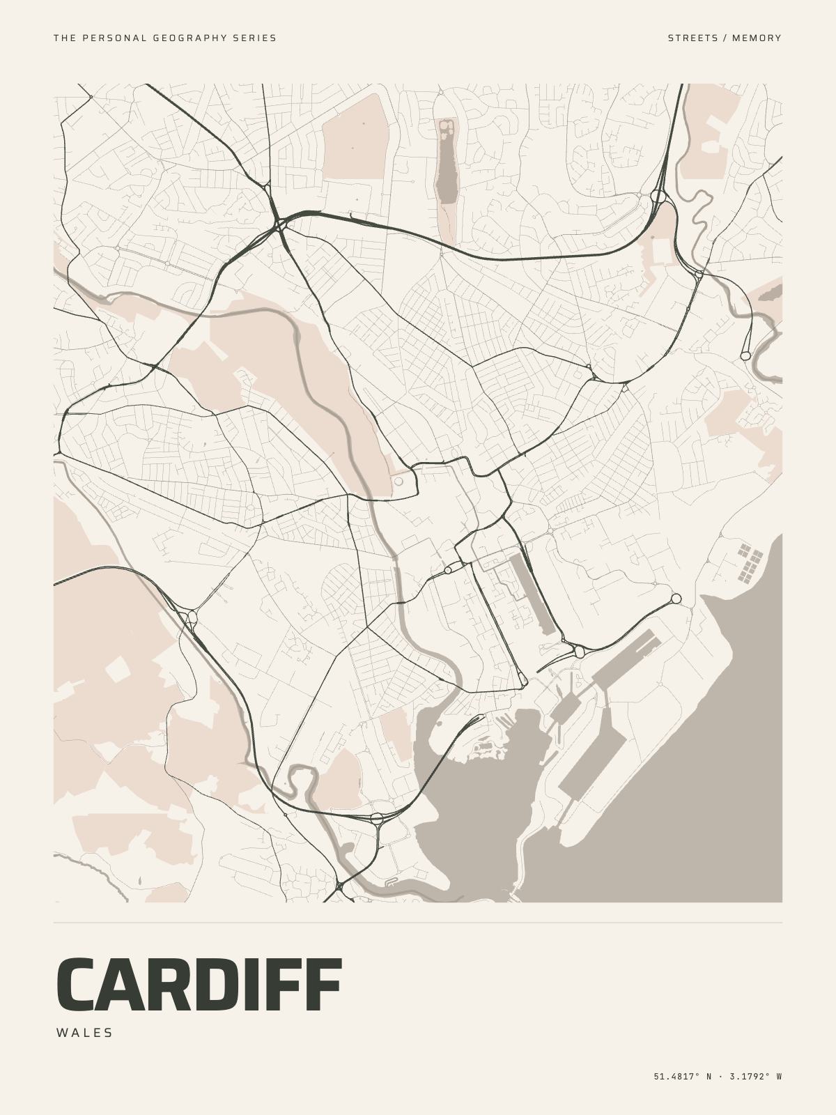
7 km acrossCardiffWales · the Taff
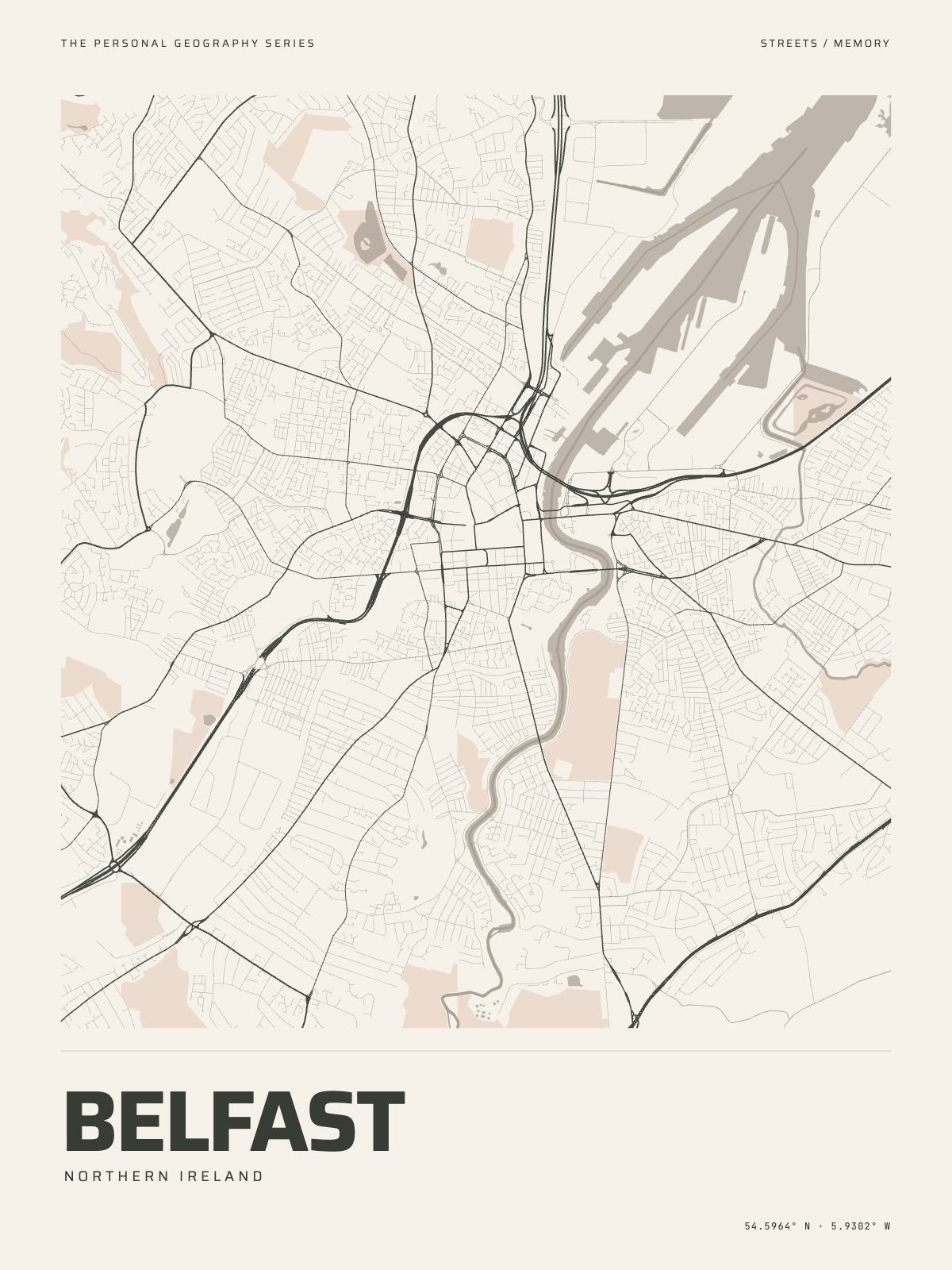
7 km acrossBelfastNorthern Ireland · the Lagan
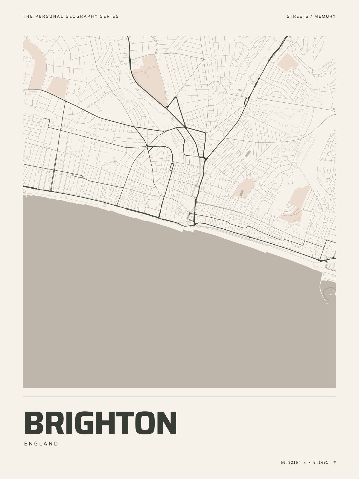
5 km acrossBrightonEngland · the Channel
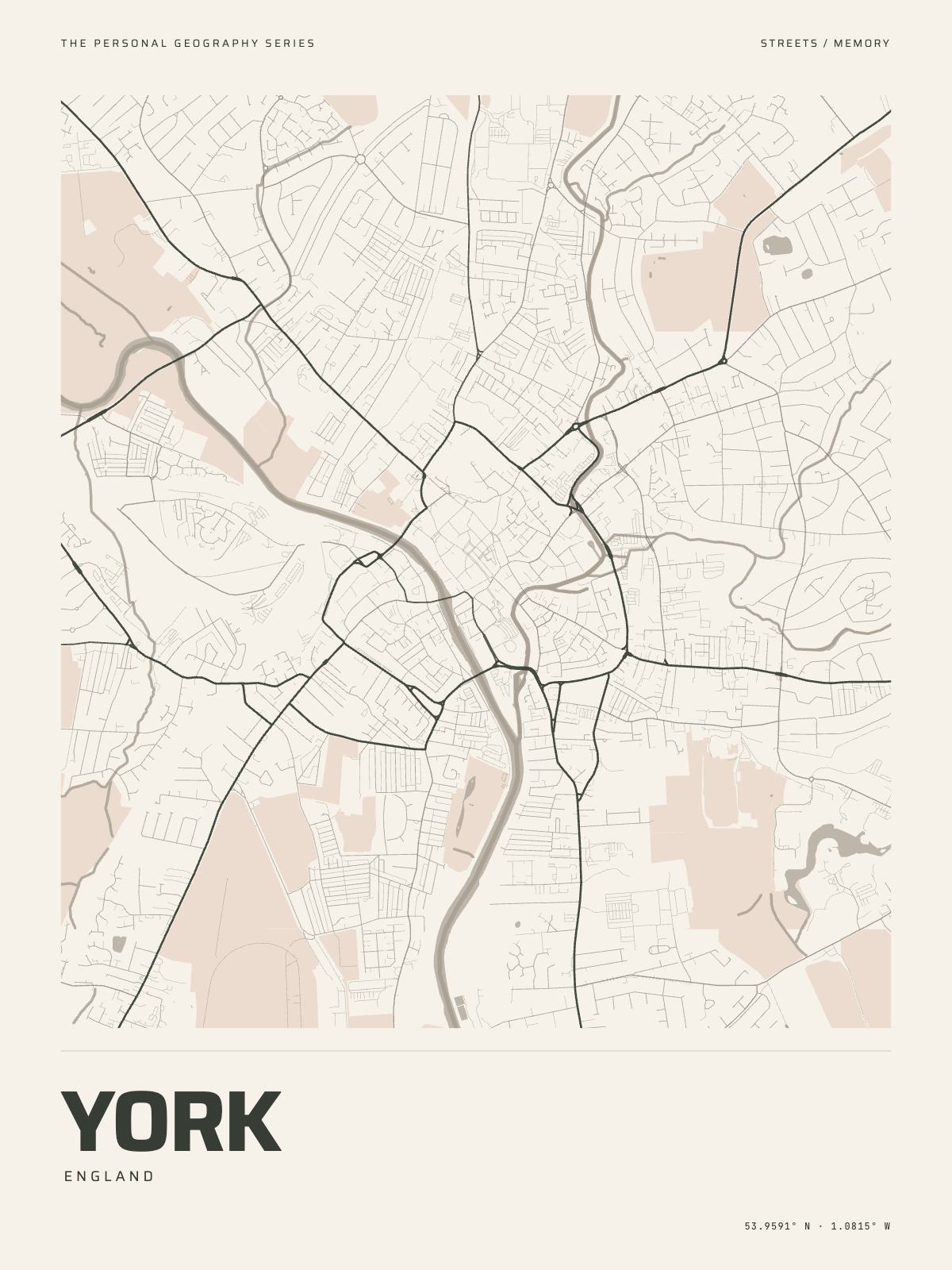
4 km acrossYorkEngland · the Ouse
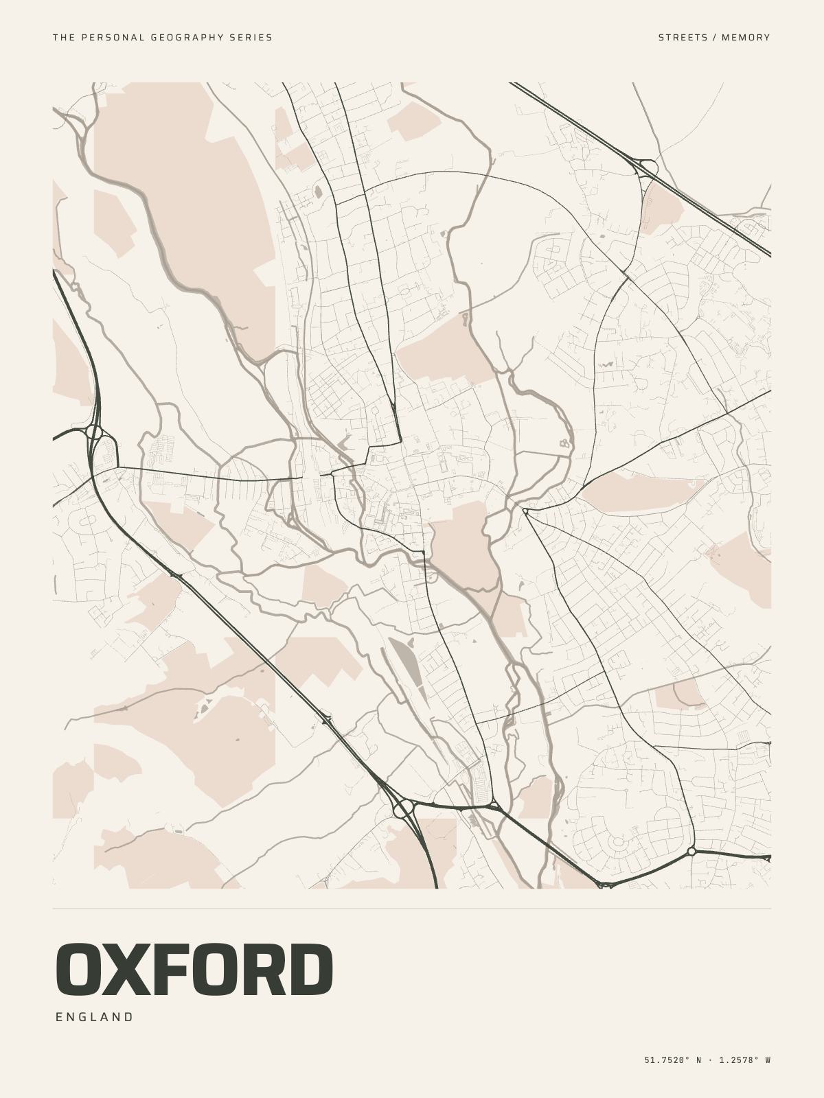
6 km acrossOxfordEngland · the Thames and the Cherwell
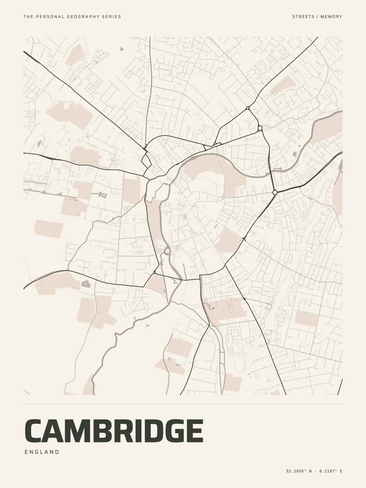
4.5 km acrossCambridgeEngland · the Cam
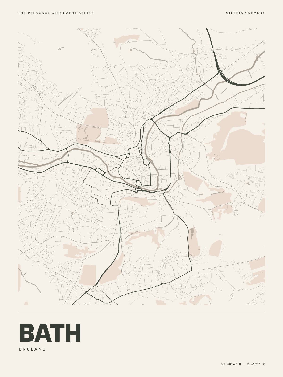
5 km acrossBathEngland · the Avon
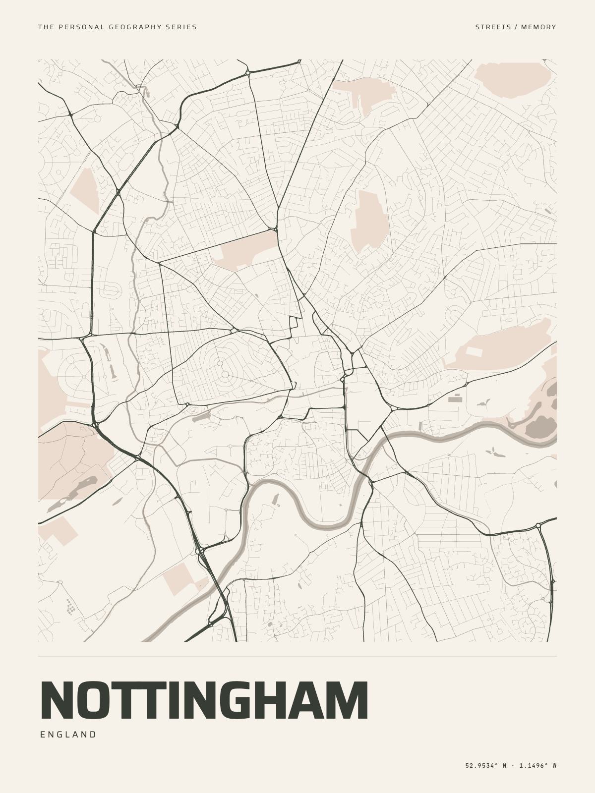
7 km acrossNottinghamEngland · the Trent
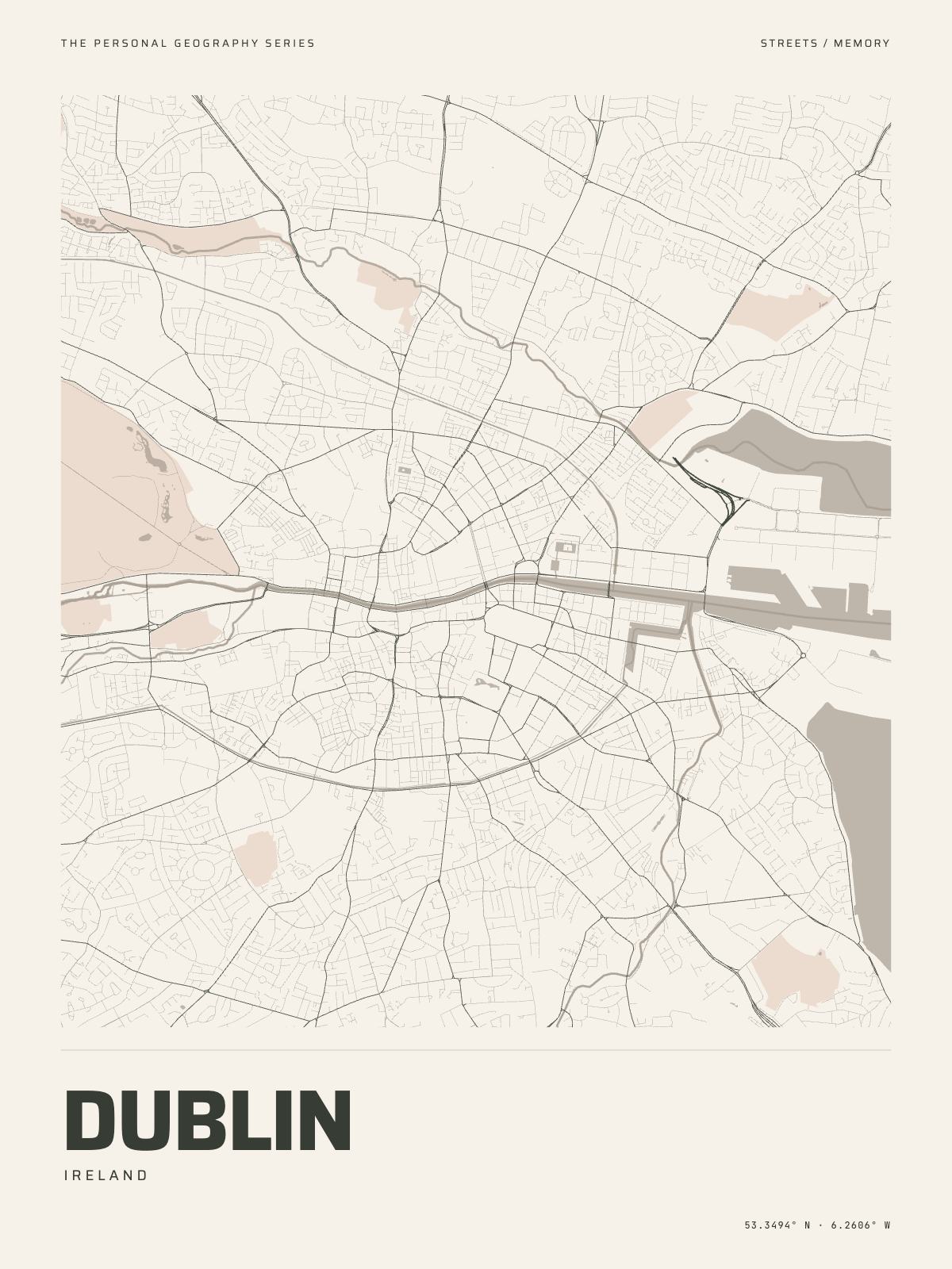
8 km acrossDublinIreland · the Liffey
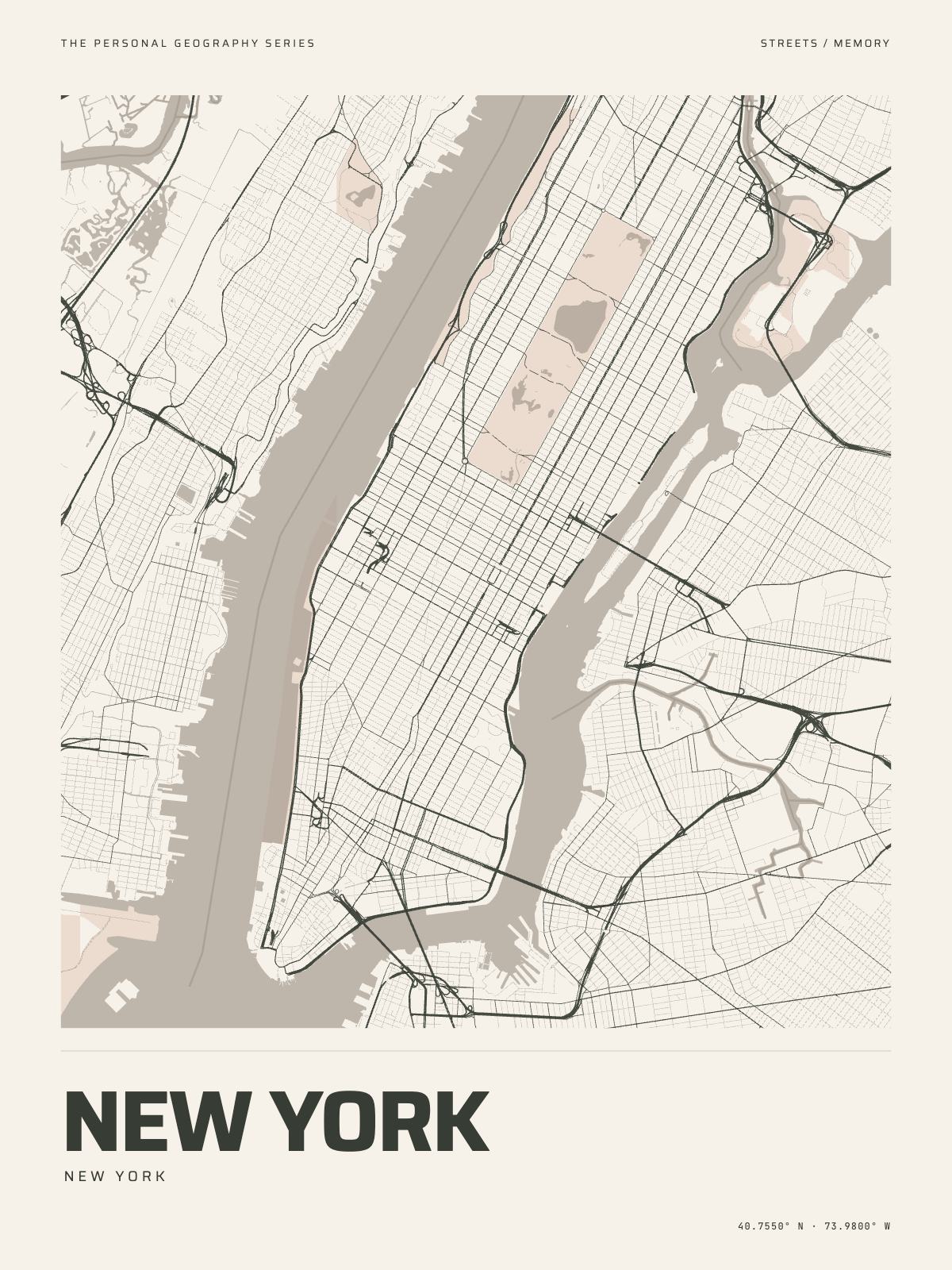
12 km acrossNew YorkNew York · the Hudson and the East River
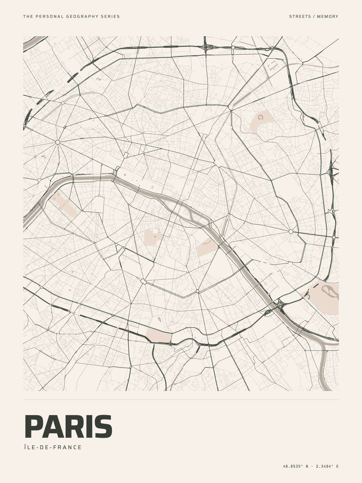
10 km acrossParisÎle-de-France · the Seine
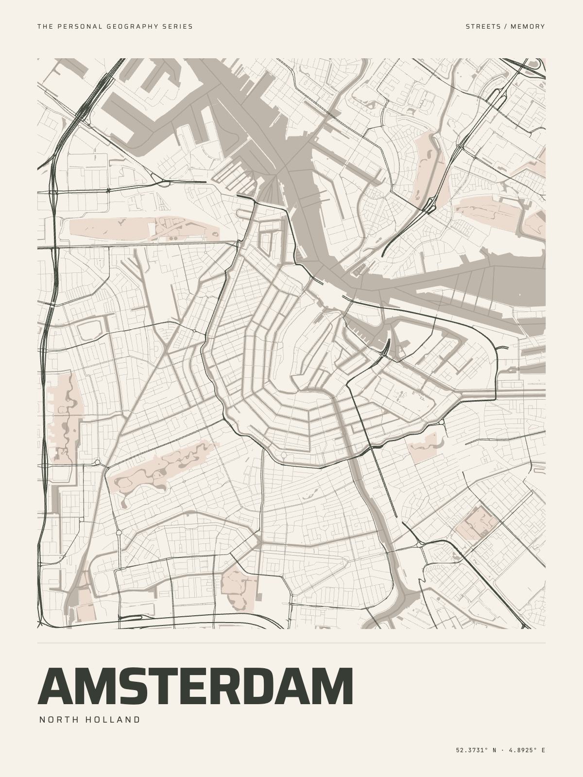
7 km acrossAmsterdamNorth Holland · the canals and the IJ
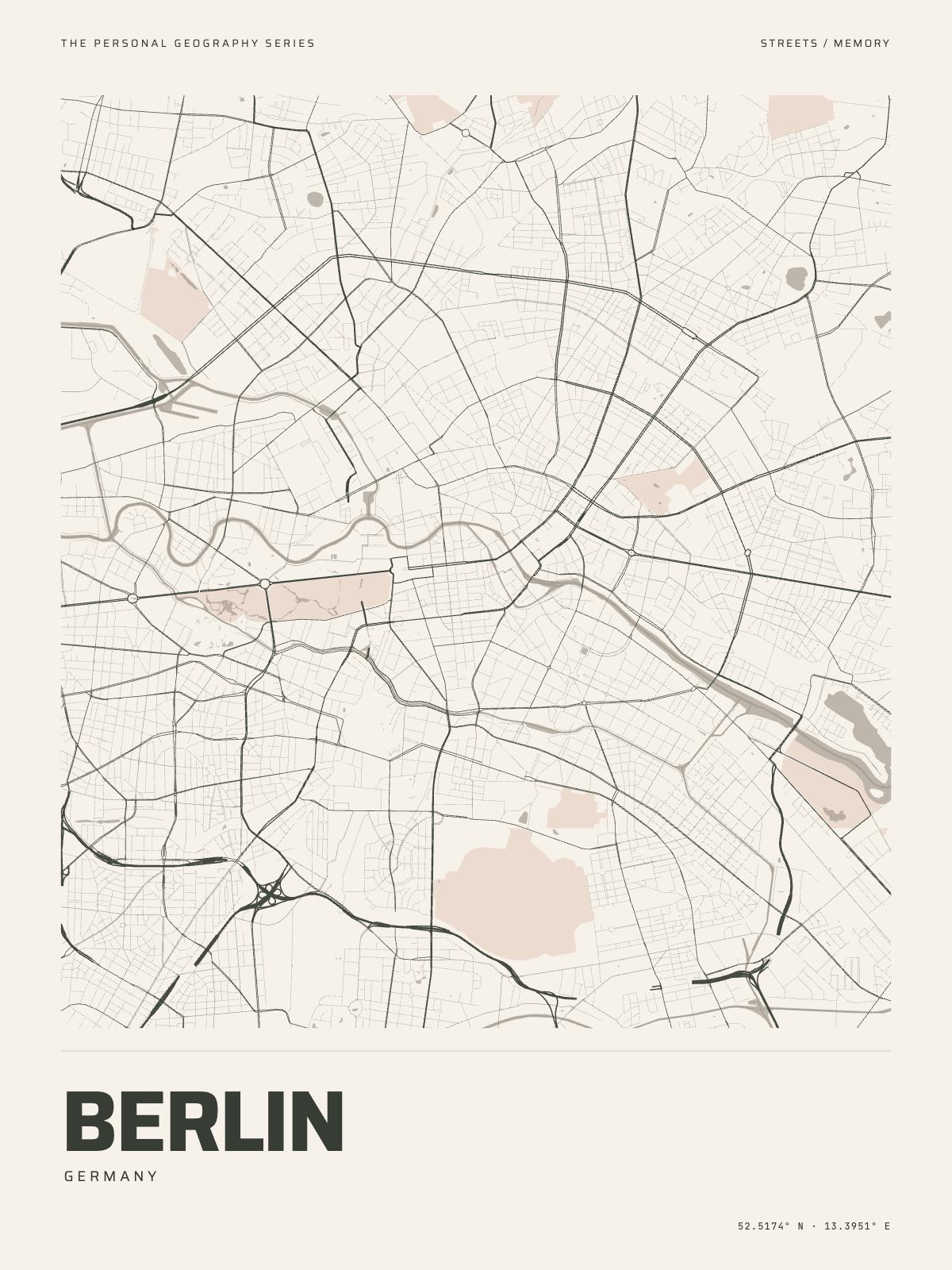
12 km acrossBerlinGermany · the Spree
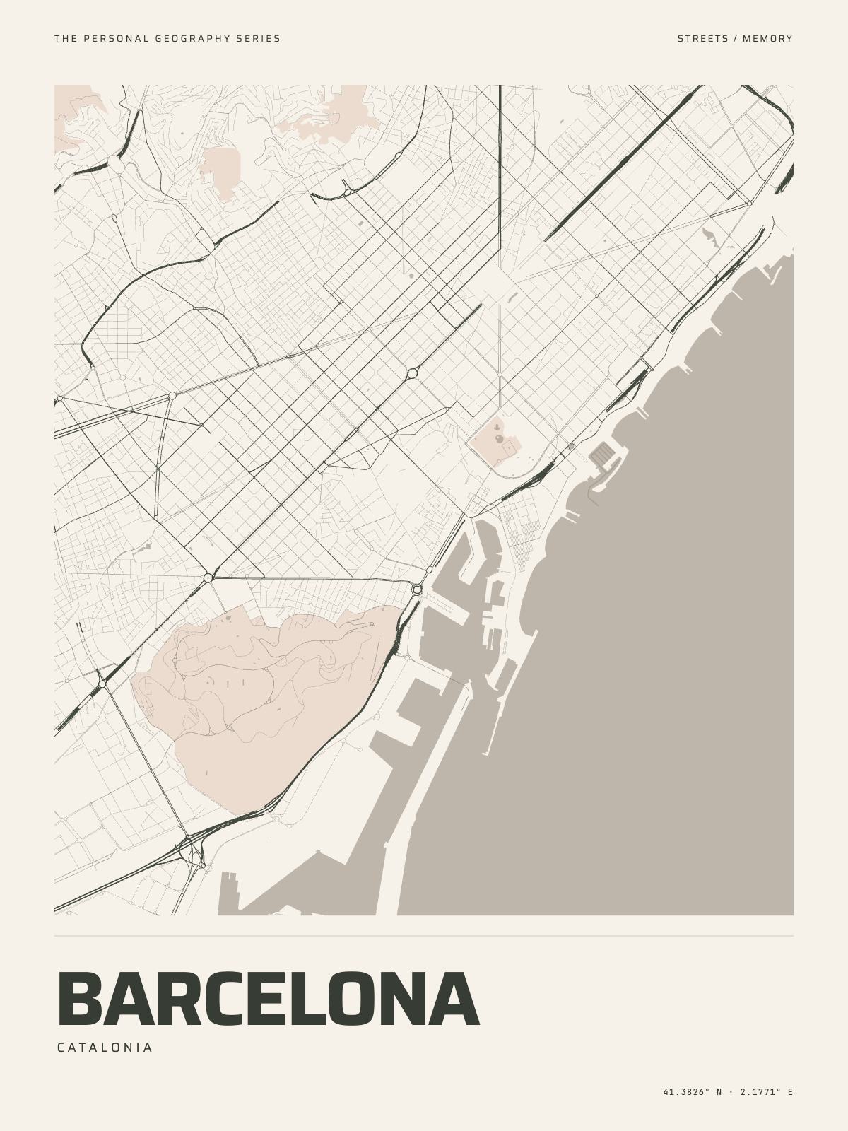
8 km acrossBarcelonaCatalonia · the Mediterranean
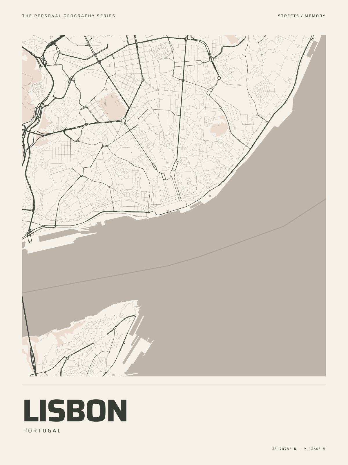
7 km acrossLisbonPortugal · the Tagus
Somewhere else?
Search the Studio for a city, a market town, a village or a postcode, and zoom until the print holds the streets you mean.
How The Map Print works · All the styles · Paper, frames and sizes