The Climb Print
The great climbs, hairpin by hairpin.
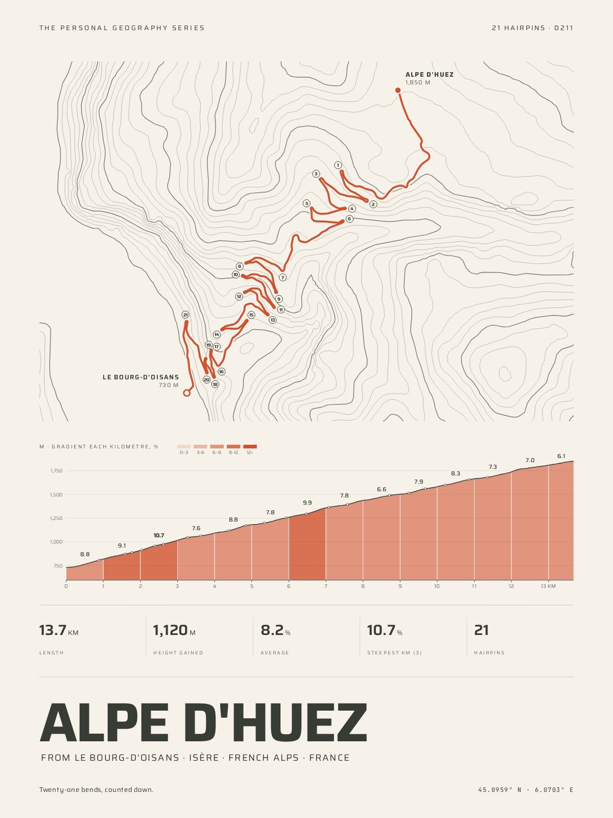
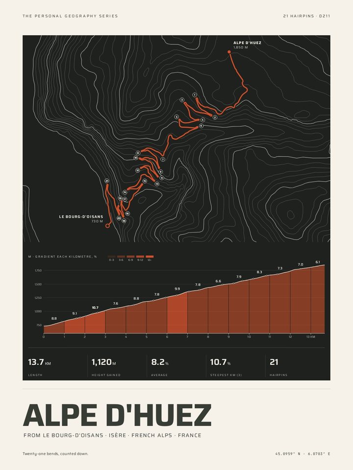
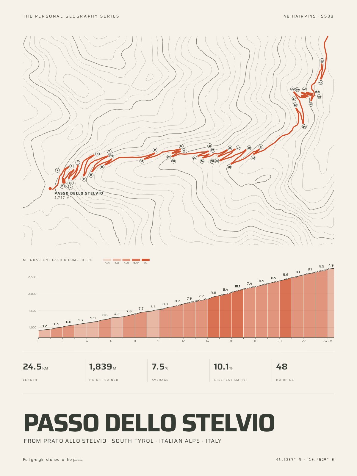
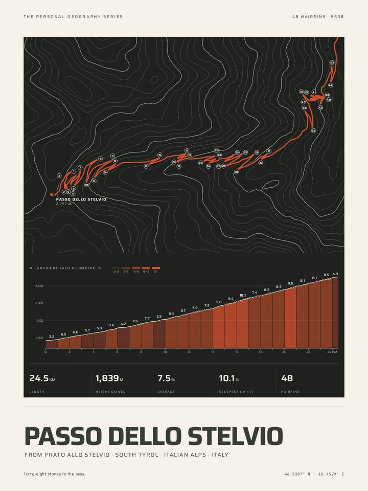
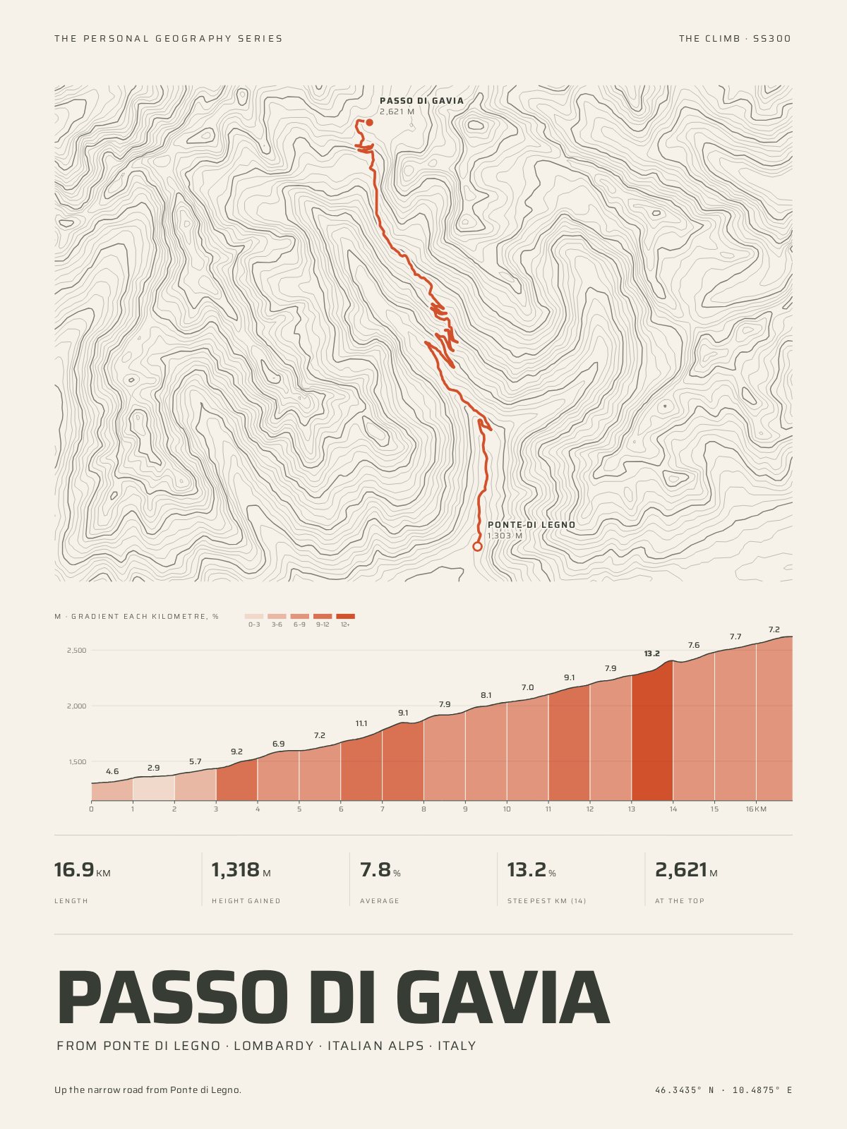
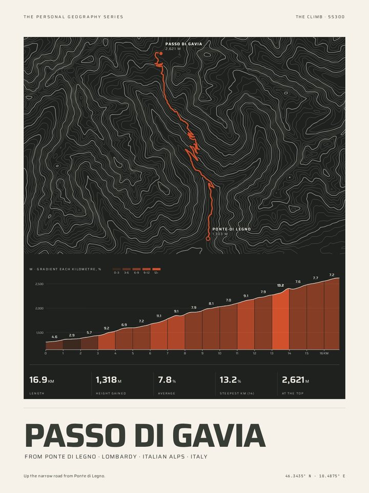
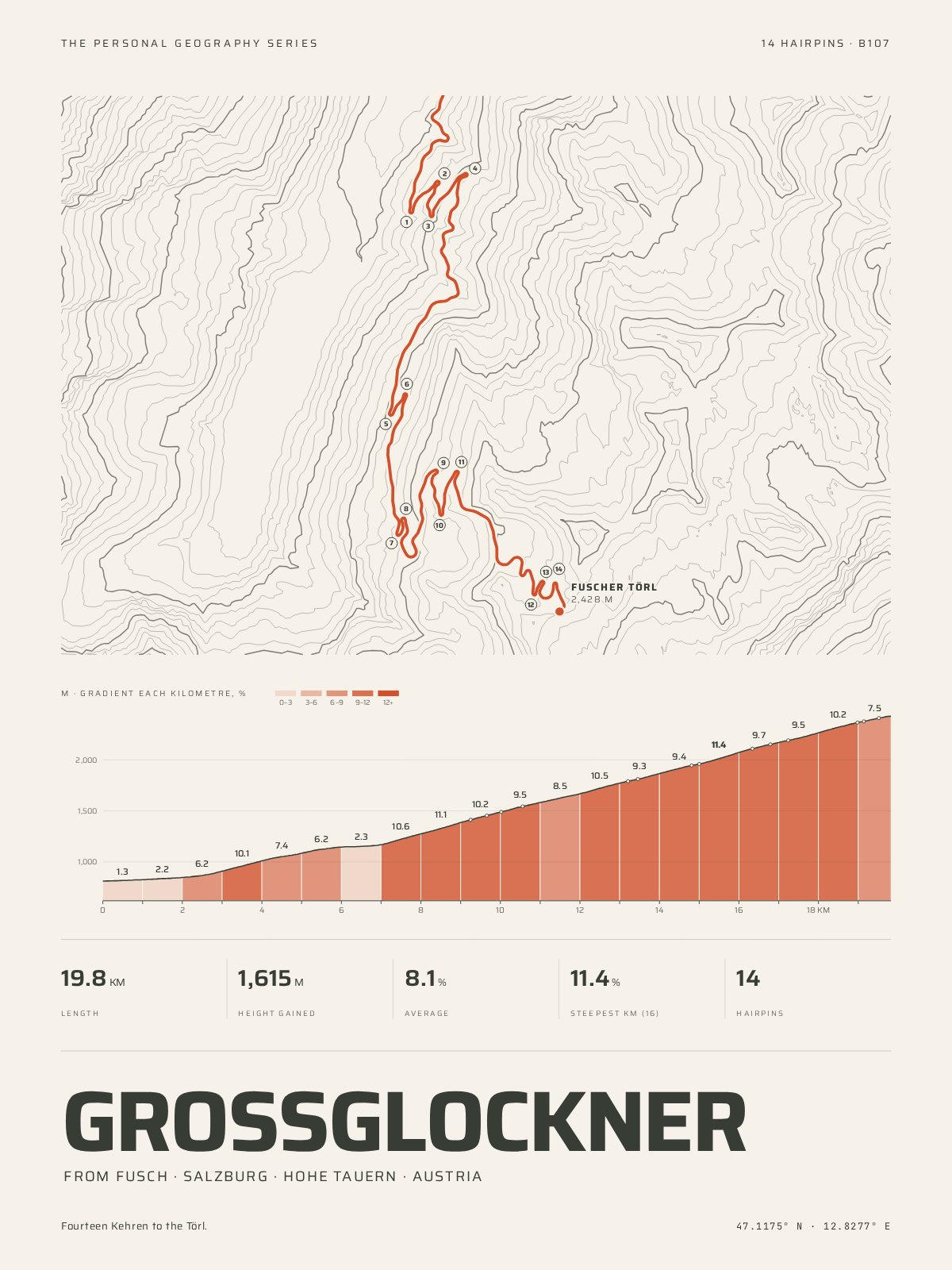
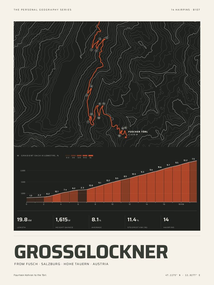
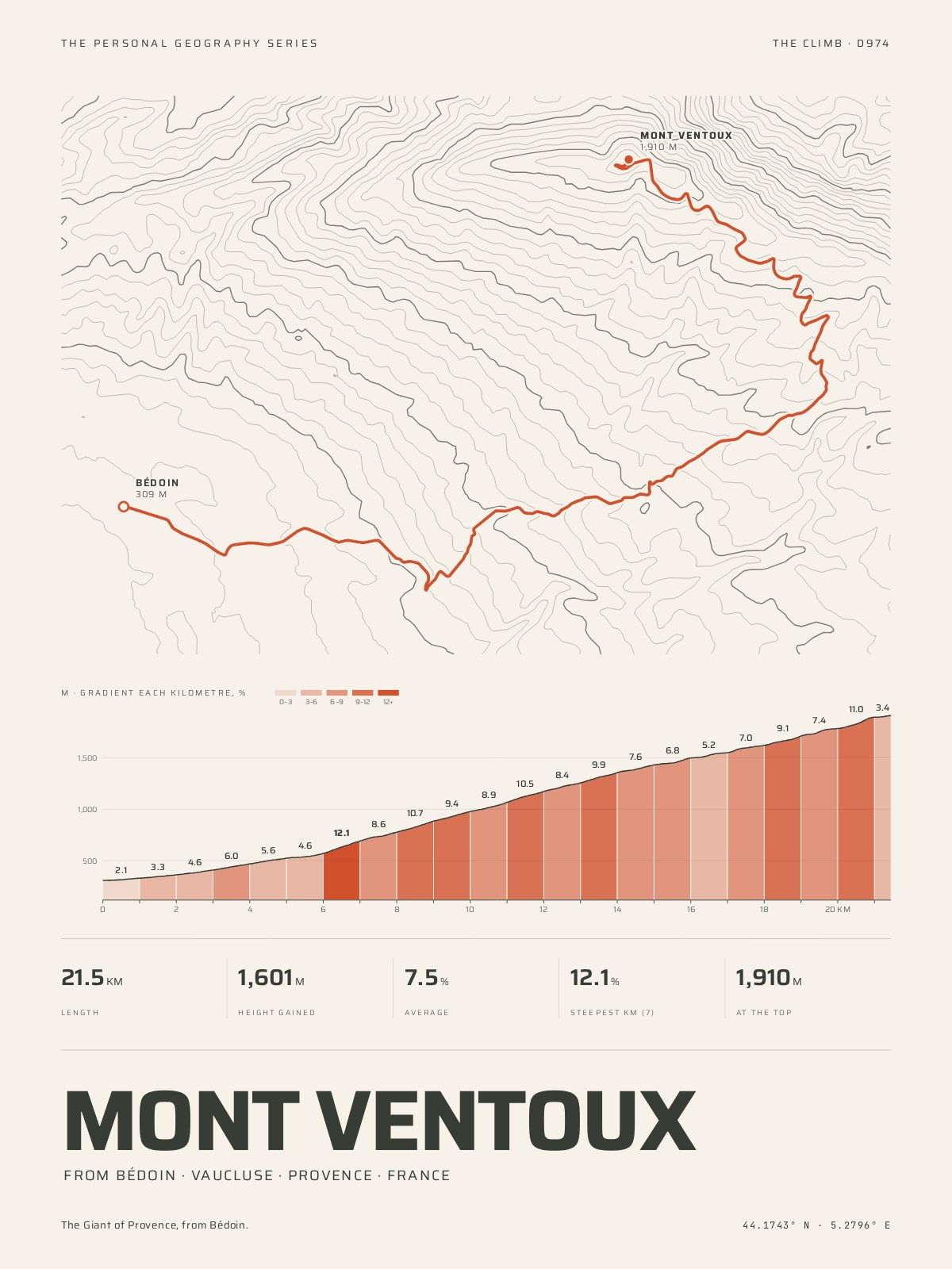
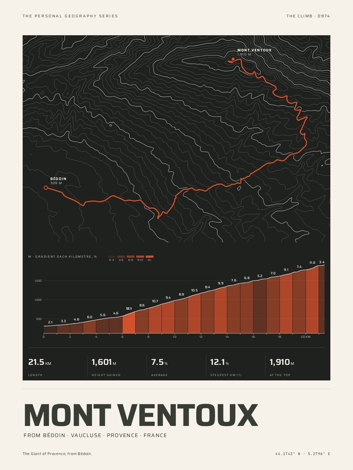
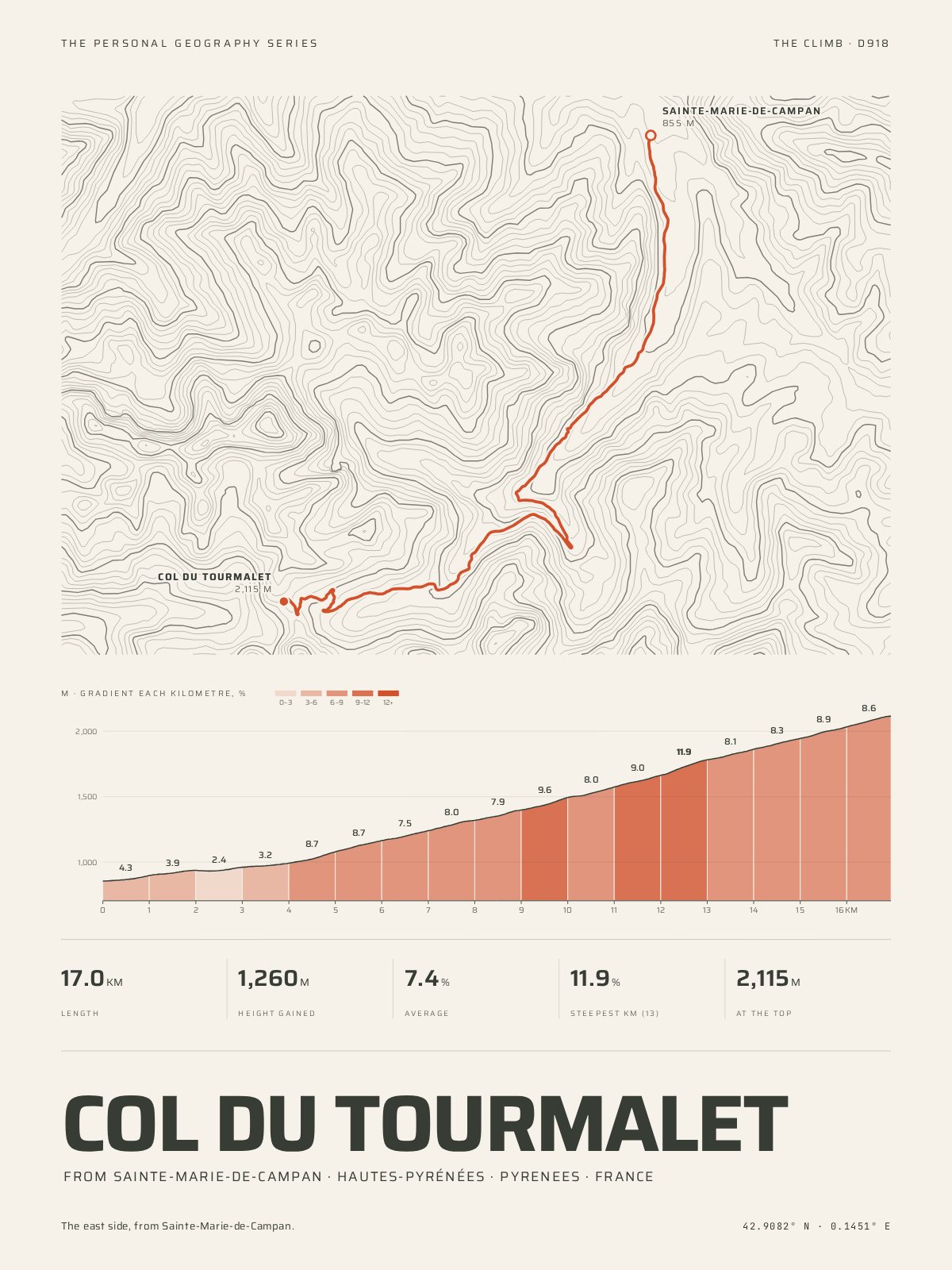
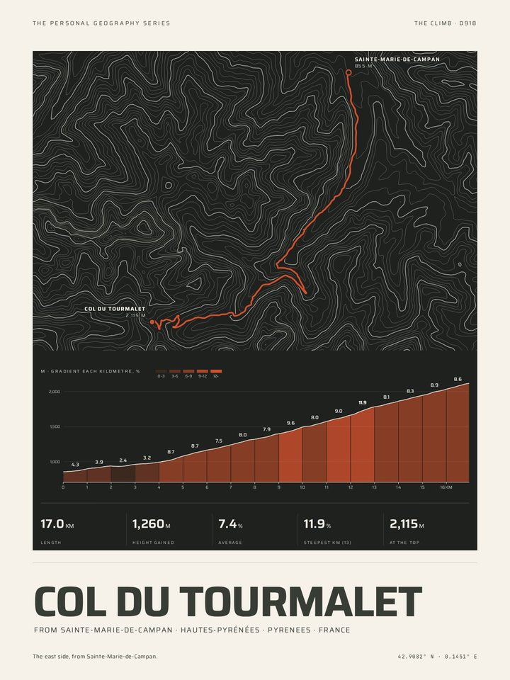
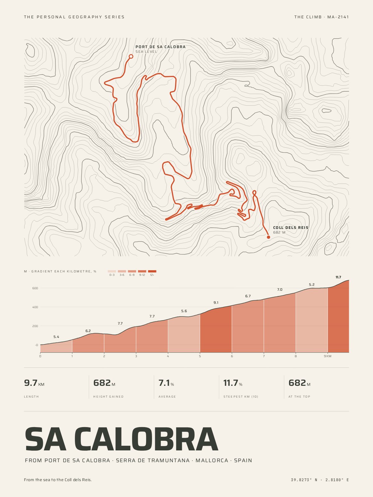
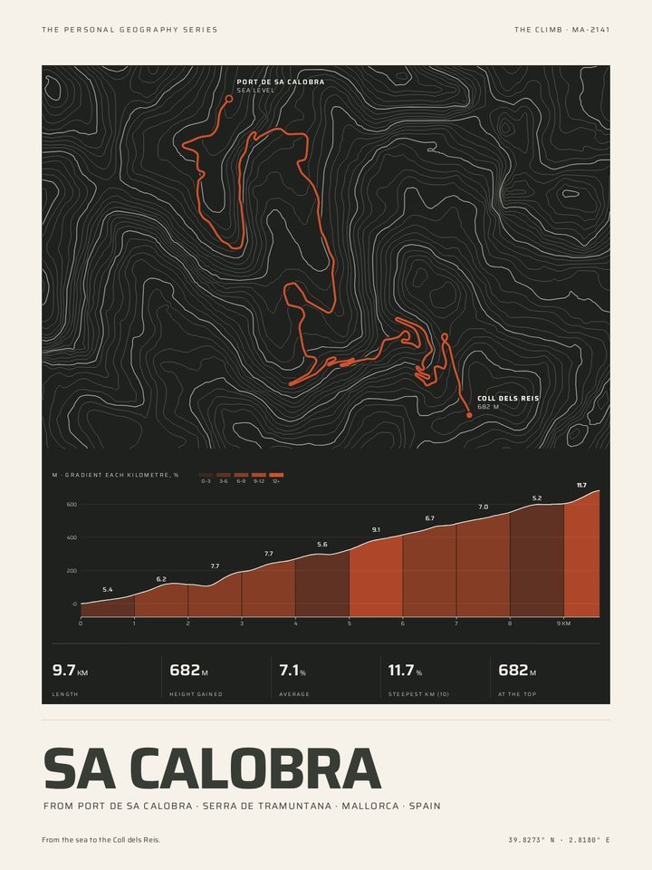
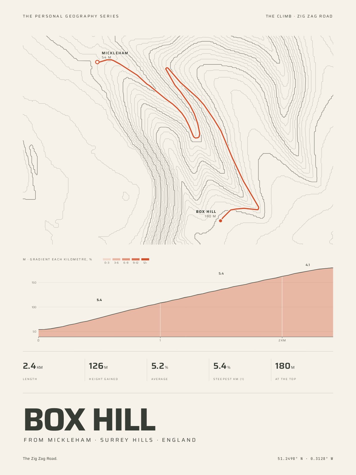
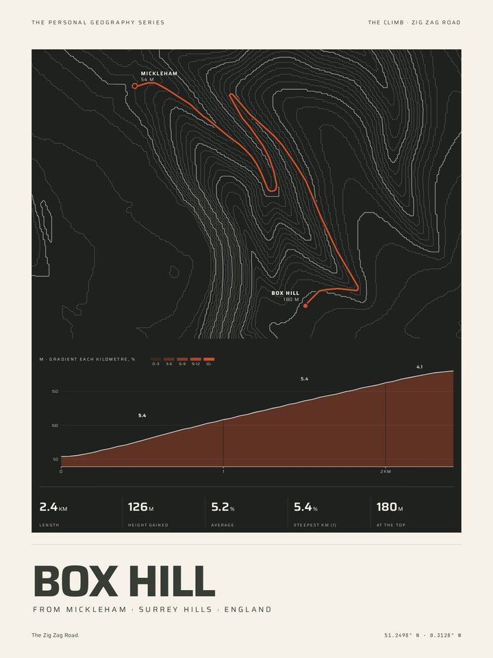
Each road is drawn over the contours of the mountain it climbs, with its numbered bends where the climb numbers them, and under it the gradient of every kilometre from the foot to the top. Add your own time and the day you rode it, and the print is yours.
The Alps


Provence, the Pyrenees and beyond


A climb that is not here?
Every climb here is traced road by road and checked against its signposts, so the list grows a climb at a time. Until yours is on it, The Mountain Print draws the hill it goes up, with your own ride from Strava laid over the contours.
How The Climb Print works · Mountains · All the styles · Paper, frames and sizes